Sunday, August 20, 2006

Gannett Peak: Day 1 and 2

Gannett Peak via the Glacier Trail
Shoshone National Forest
Day 1 and 2: 8/13 and 8/14/2006

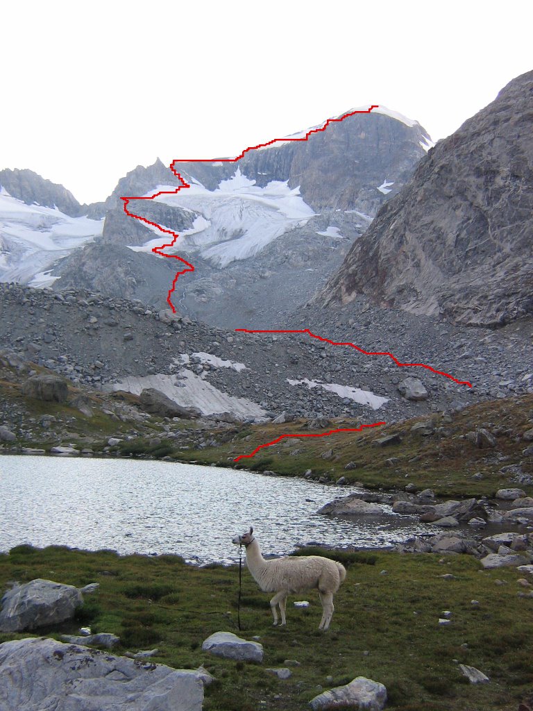
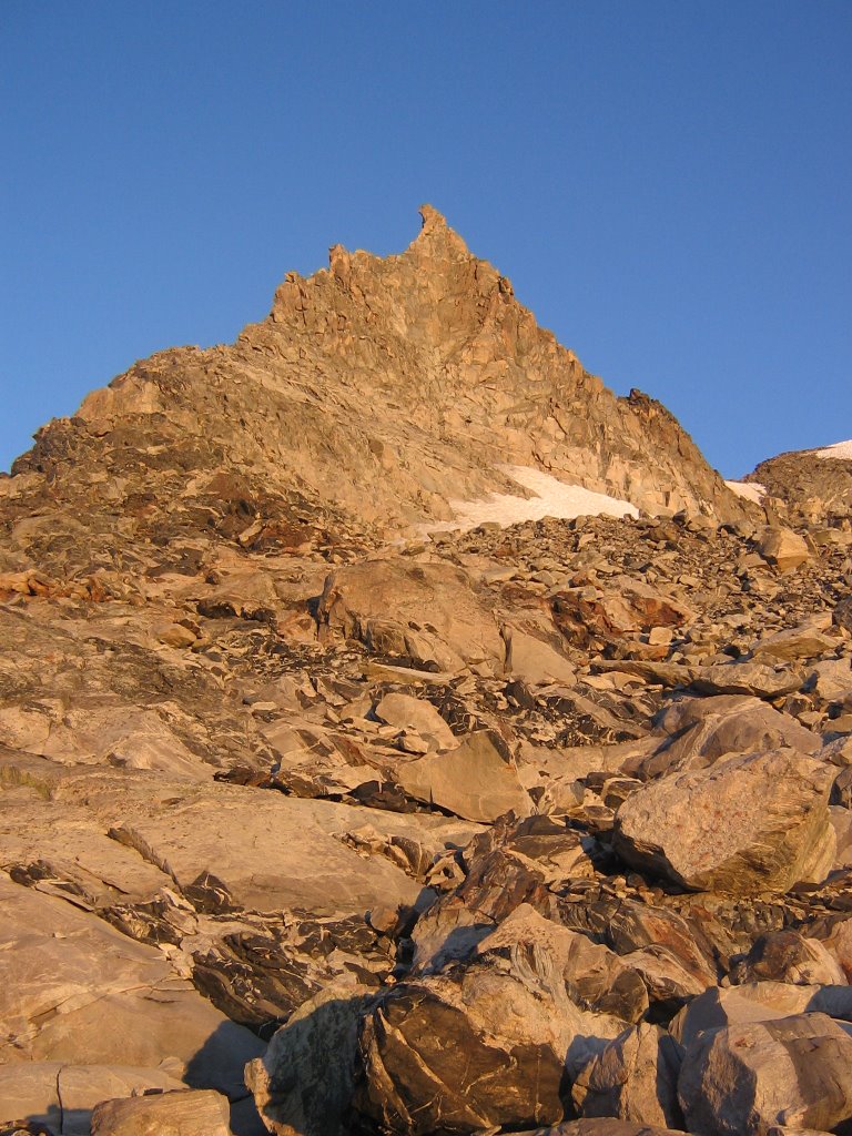
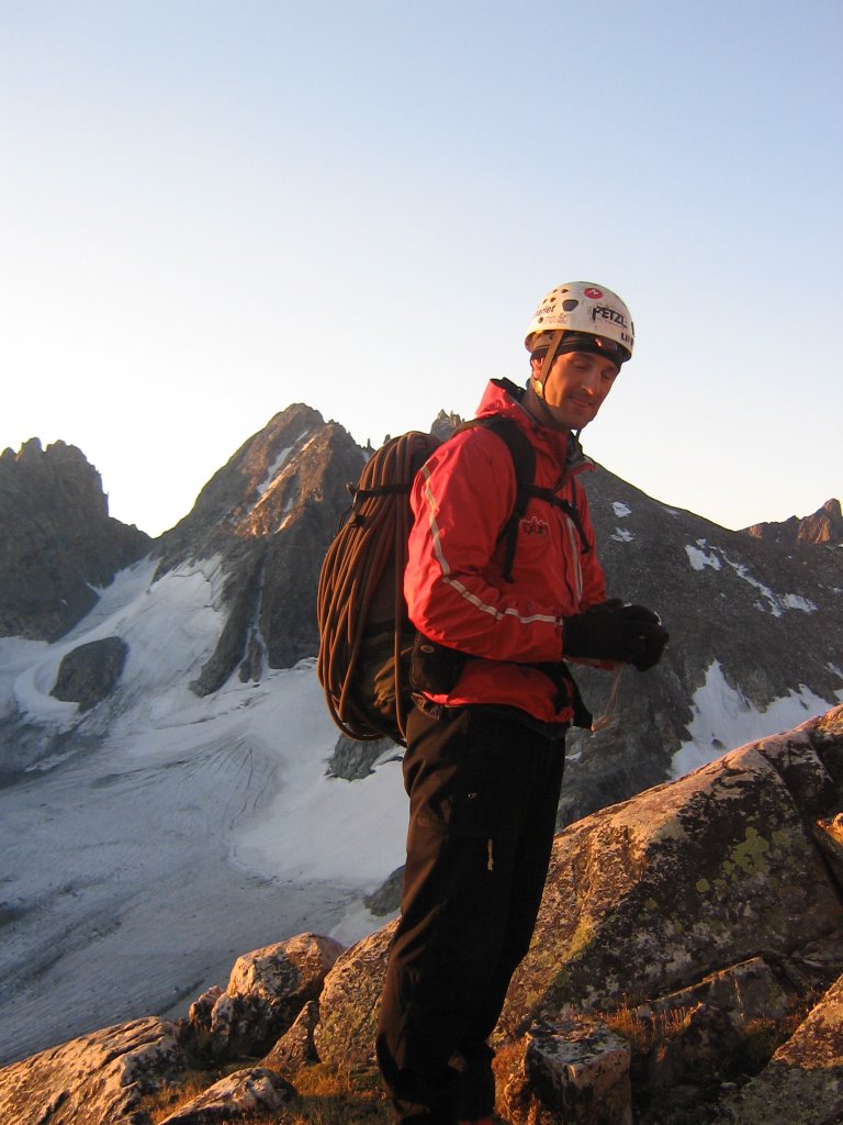
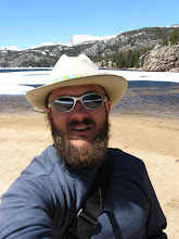
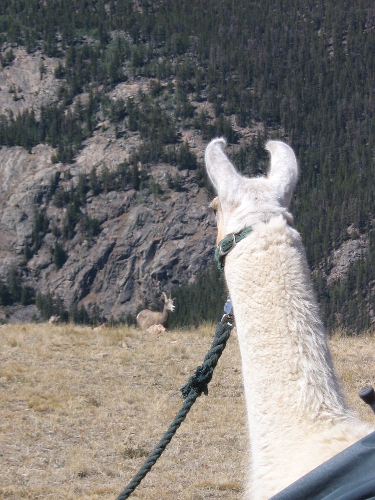
Peidmont (the Llama) scopes out some Bighorn Sheep, high above the trailhead on the "old" trail. The new trail that goes by Bomber Basin was closed because of a small fire. My sister, an Exum guide, and five Llamas joined me for this trip. Our goal was to climb Gannett Peak. At 13,800 plus feet, it 's the tallest in Wyoming.


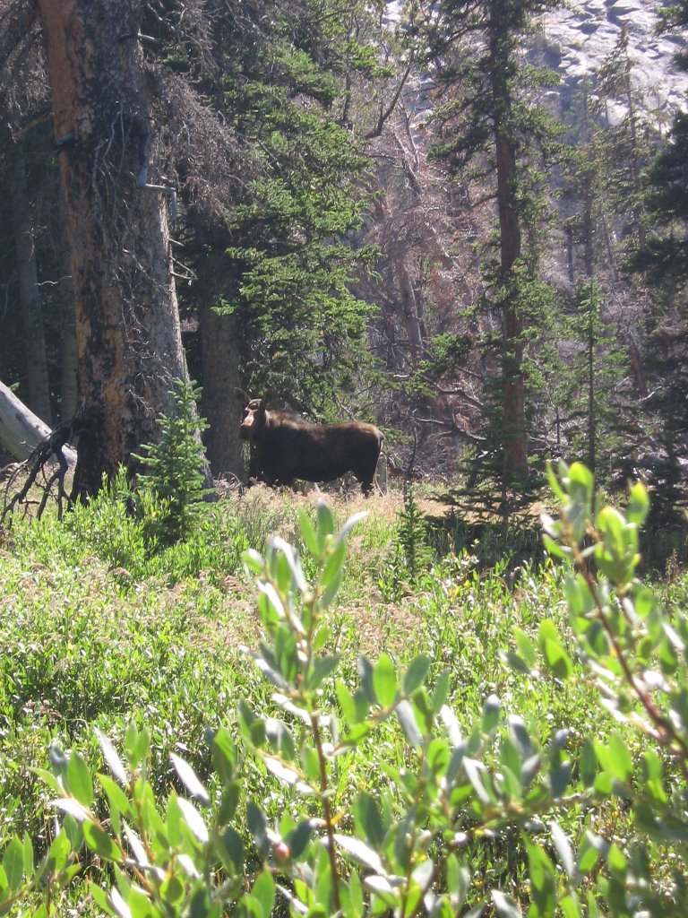
Dropping down off of Goat Pass, headed into the Philip's Lake area we spotted this moose. She didn't seem to mind the traffic.


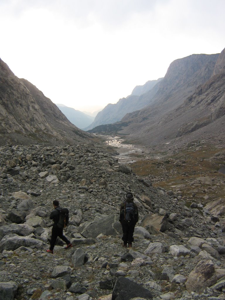
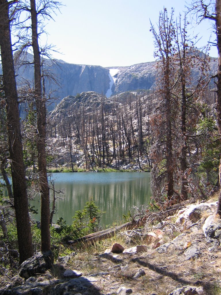
A small lake and couloir around the Philip's lake area. It's about 25 miles all the way in to the base of Gannett Peak using this trail. It would take us two hard days of hiking before we were even in a position to climb it.


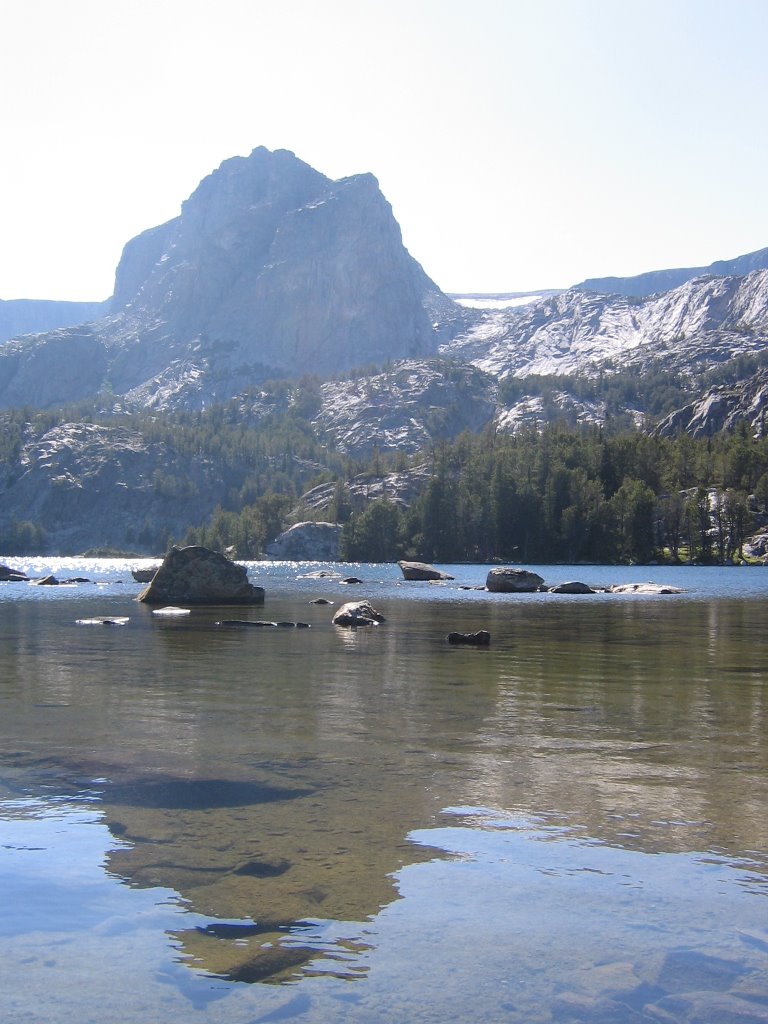
A view of Double Lake. We camped near here on our way out, five days later.


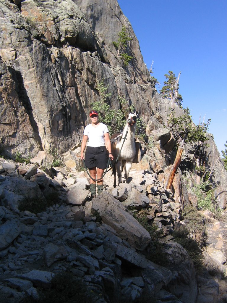
Hope and Kutz (the Llama) descending switchbacks on our way into Honeymoon lake, where we stayed on our first night.


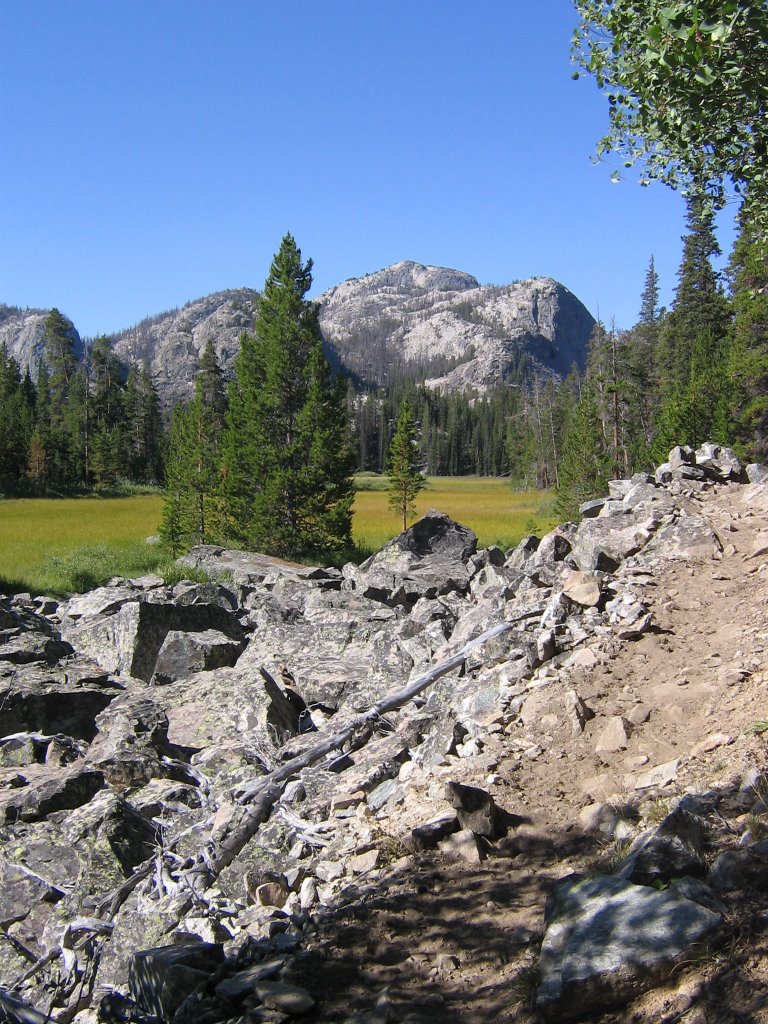
The next day it wasn't long before we entered the Down's Fork meadow country. I've heard interesting tales about crossing the Down's fork years ago. Now there's a bridge across it, so it's not an issue anymore.


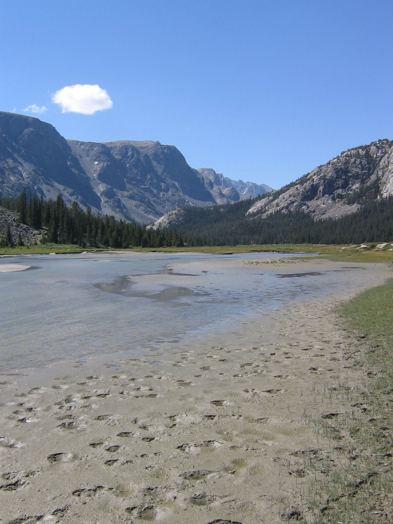
After the Down's Fork Meadows, we entered Big Meadows. From Big Meadows you can start to see up the Dinwoody drainage a bit. The river is full of glacial silt and it's banks are loaded with glacial sand deposits. It's kinda cool. An alpine beach. Ha!


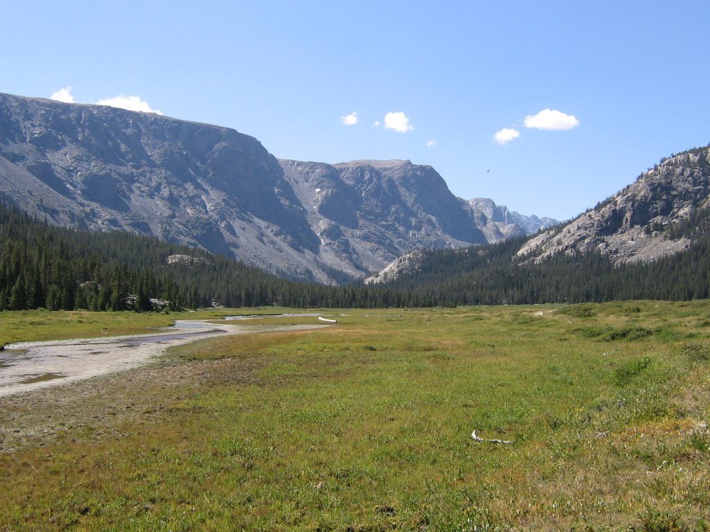
I wonder why they call it "Big" Meadows?


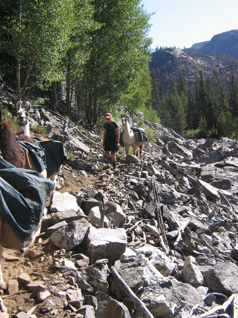
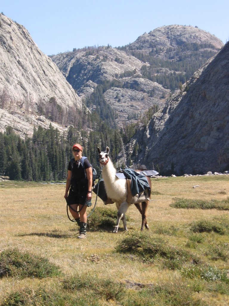
Hope leads Kutz through Big Meadows. It took about an hour to get through it. It was a beautiful walk though.


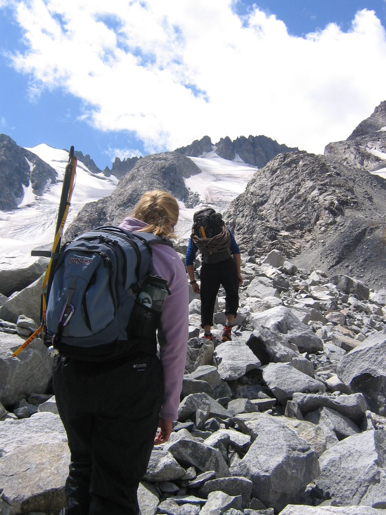
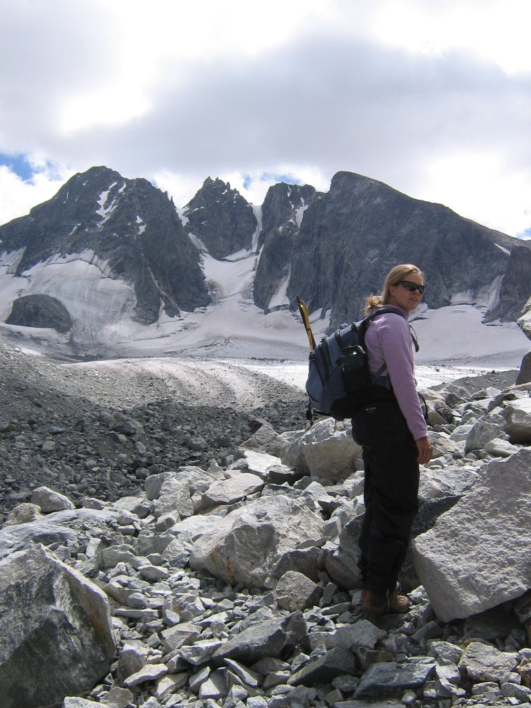
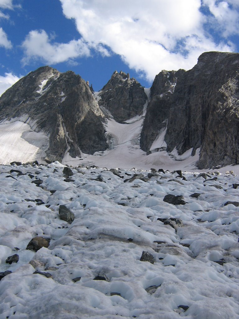
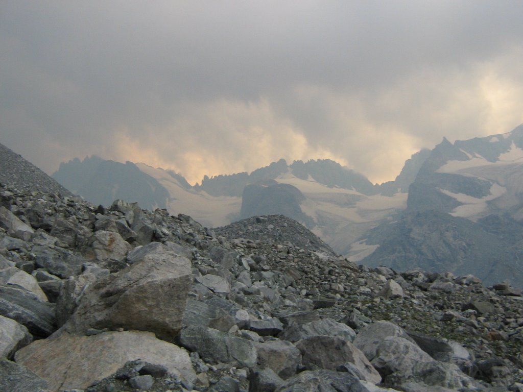
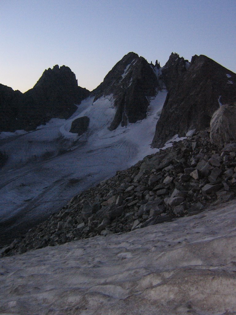
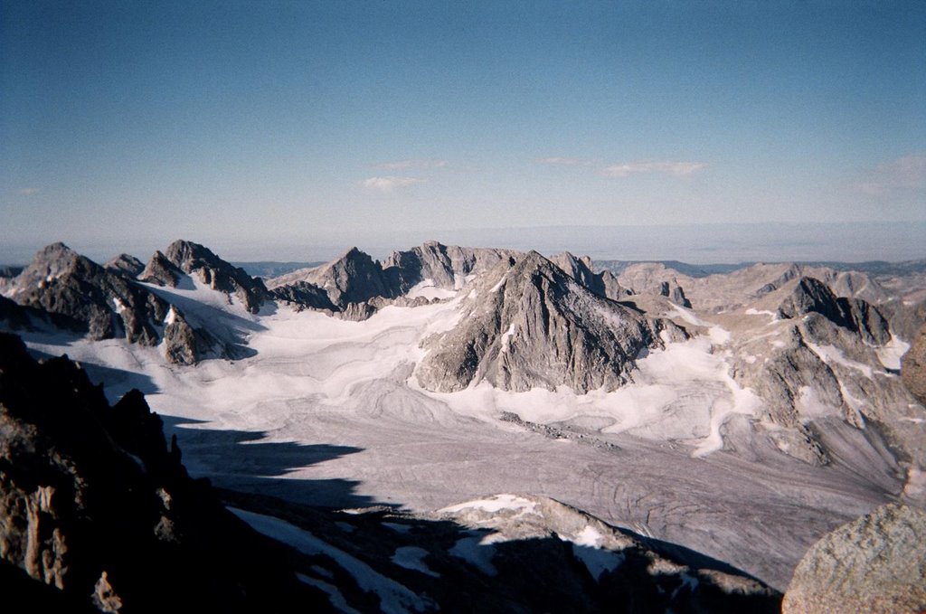
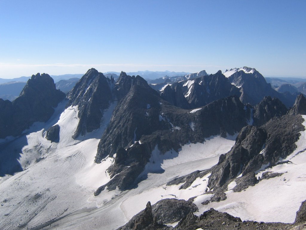
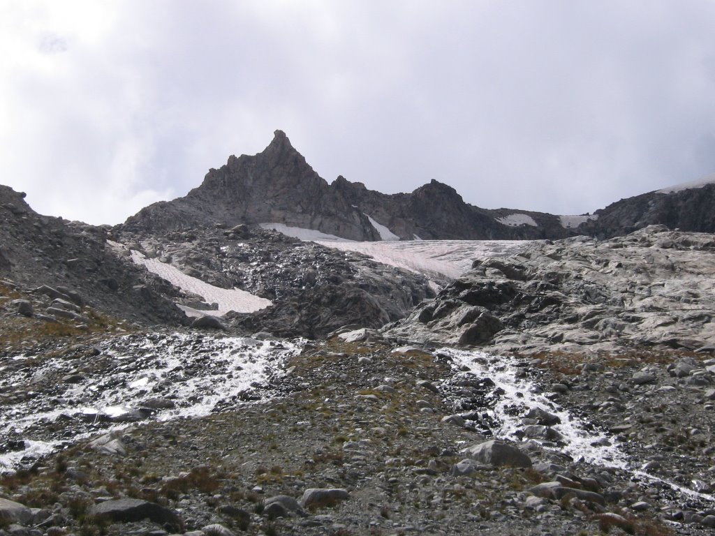
Soon after gettting through Big Meadows we get our first view of Gannett Peak and Gannett Glacier (the North face).


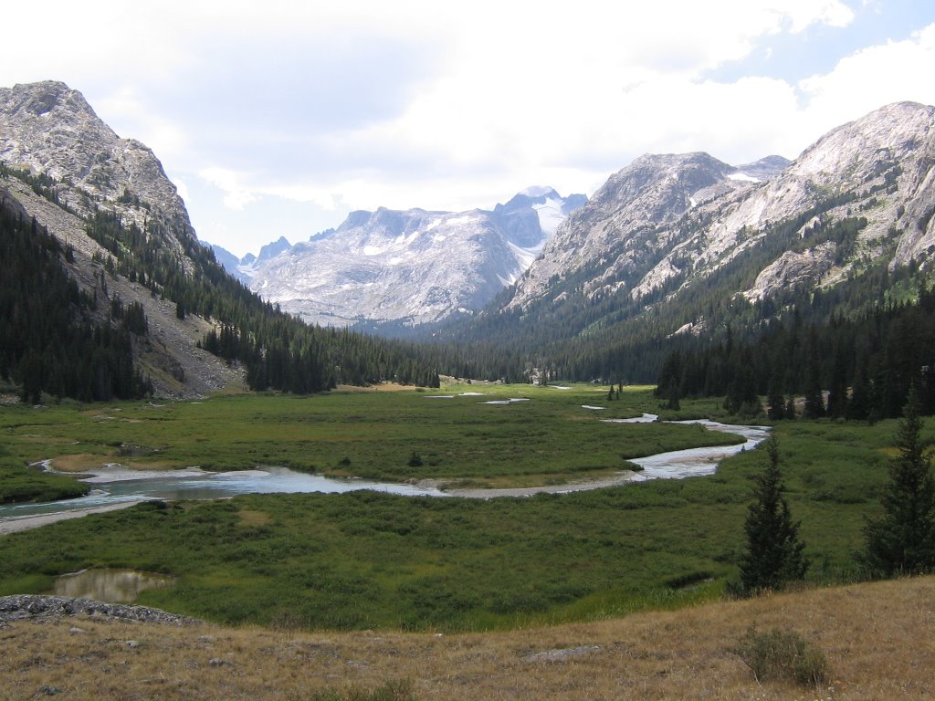
Not long after that we entered the Floydd-Wilson Meadows. This is where I camped on previous trips, but this time we were hoping to get further up the Dinwoody, so we kept hiking.


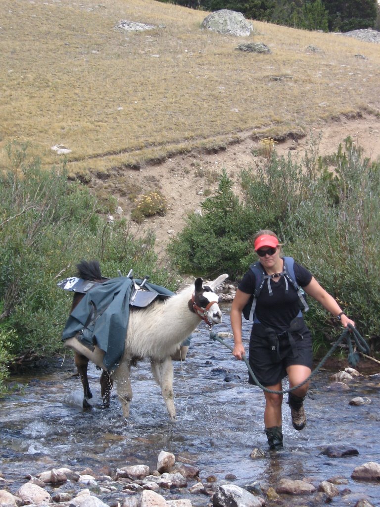
Hope and Kutz cross Klondike creek as we begin to get into the Floyd-Wilson meadow areas.


After going through the Floydd-Wilson Meadows, you get to a point where you have to cross Dinwoody creek. It can be tricky. There's a good, safe place to cross Llamas and other livestock, but at first sight you might not believe it. Though the water is much lower in the morning, this time of year it's pretty safe all day.

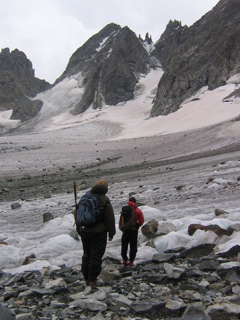
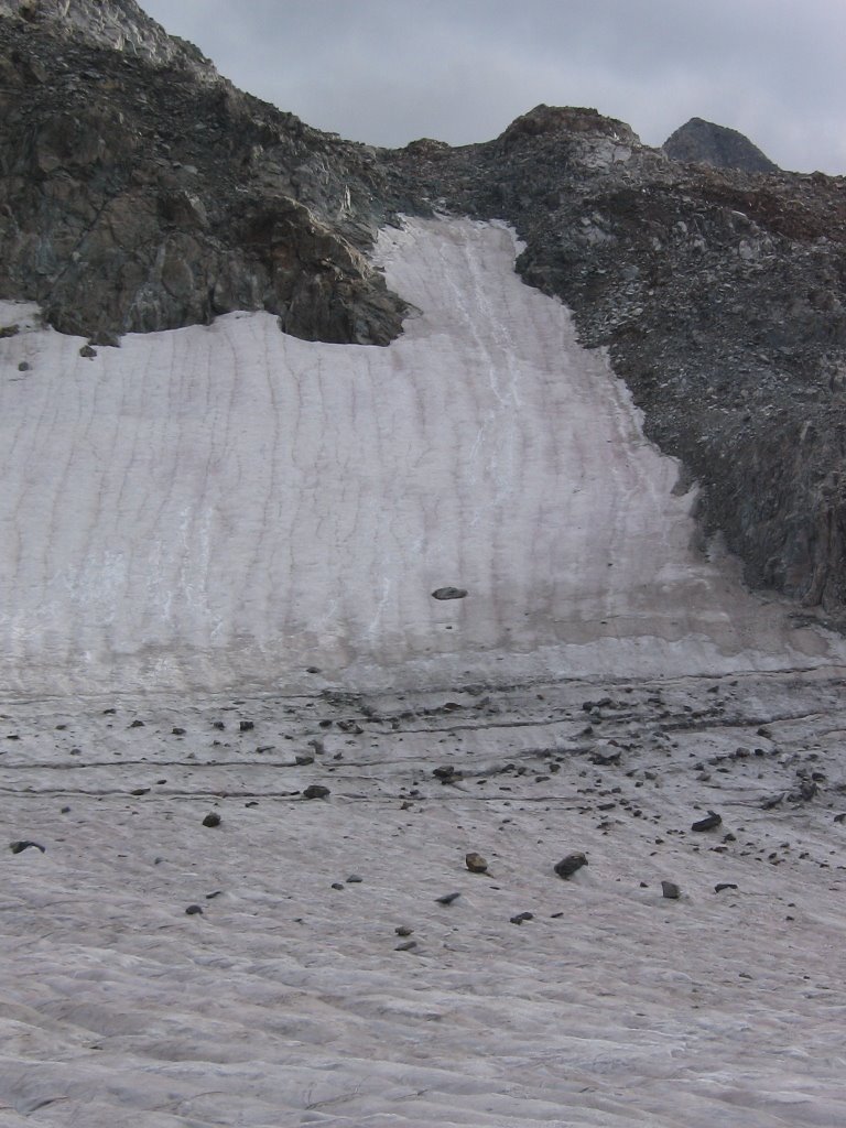
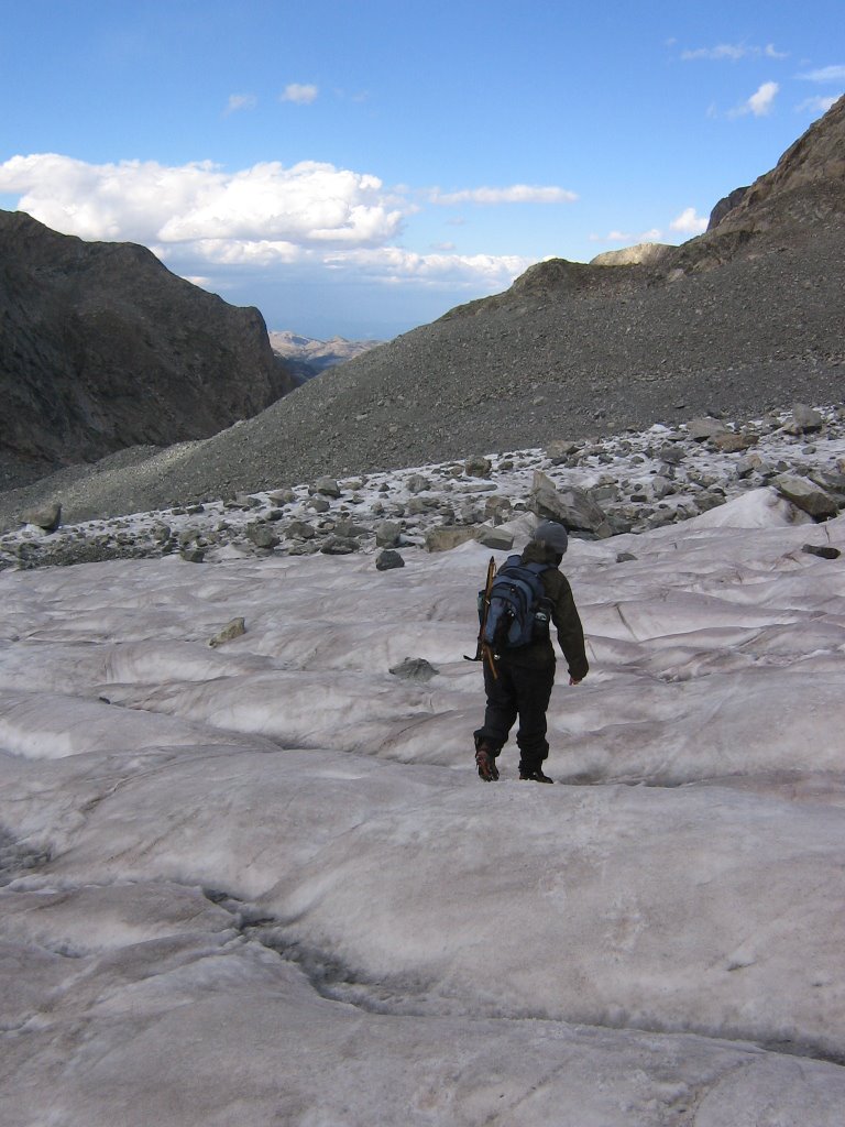
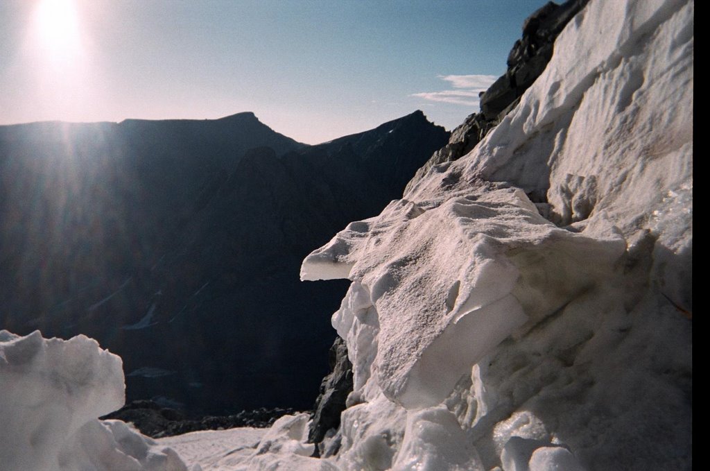
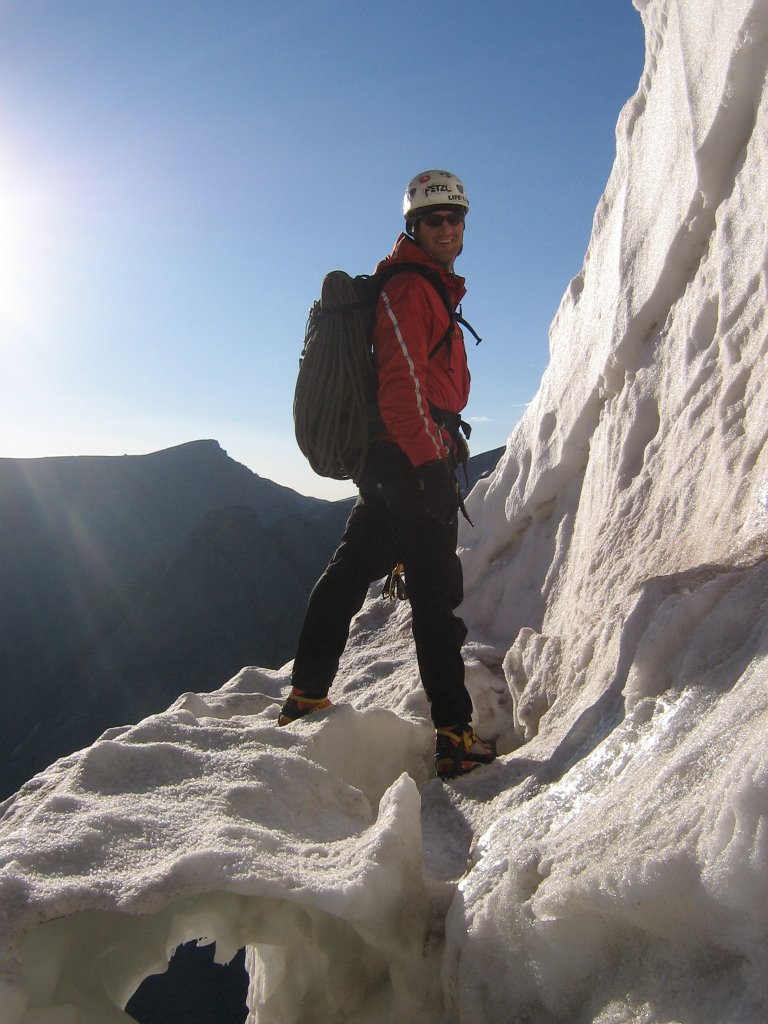
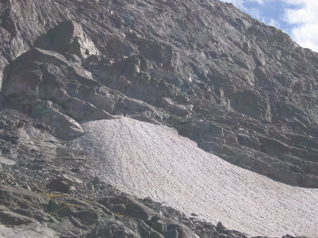
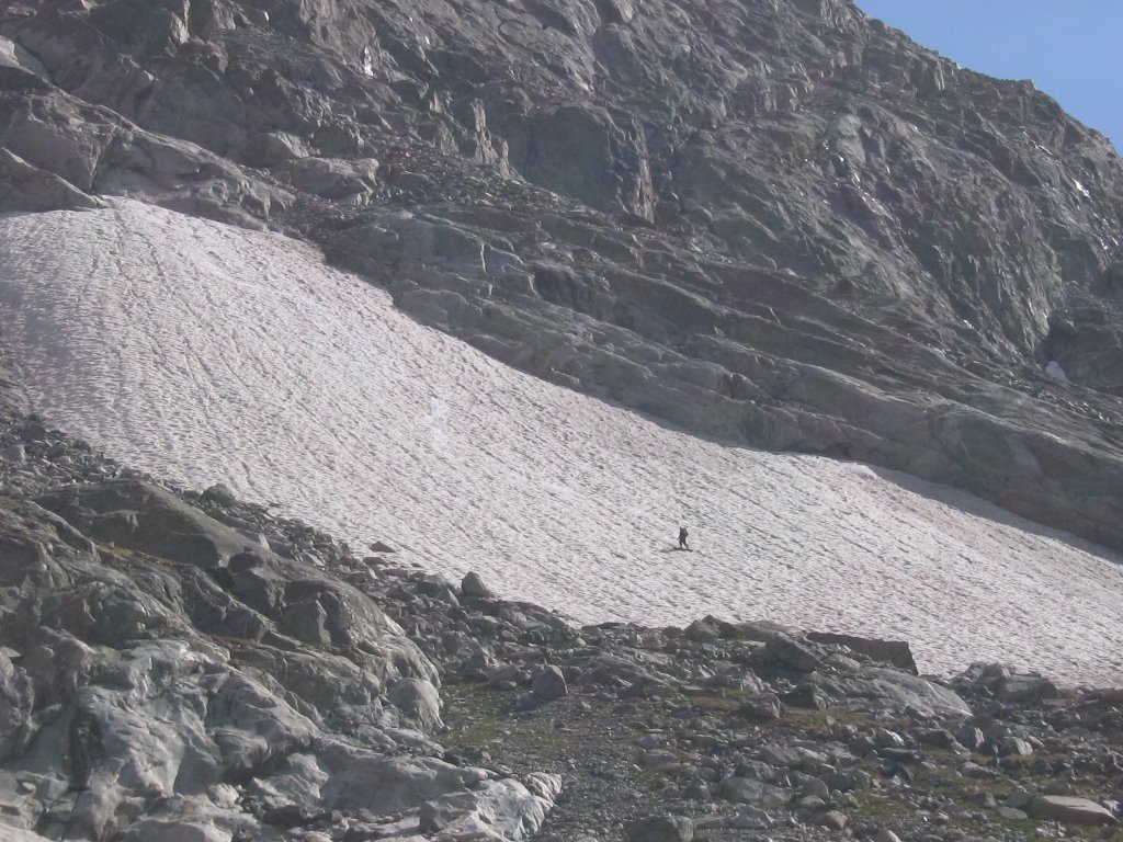
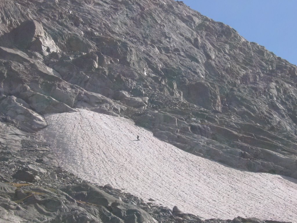
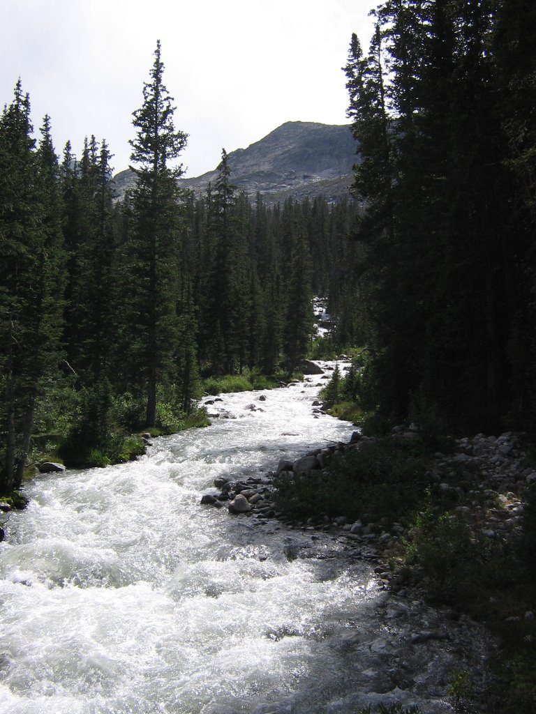
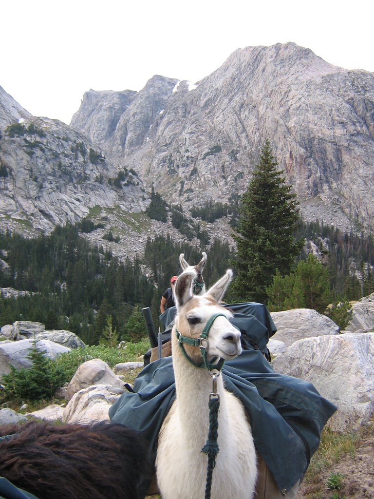
After crossing Dinwoody creek, we start to head up into the alpine country. It got really cool after that.

Back at the ranch... Tally entertains the Queen.

Gannett Peak: Day 3 (Practice)

Gannett Peak via the Glacier Trail
Shoshone National Forest
Day 3: 8/15/2006


On our 3rd day out we awoke to stormy skies and cool weather. It was raining and sleeting. There was fresh snow on the ridges above camp.


The weird weather kind of dampened our plan to get up and do some training runs and climbing practice up high. Eventually it cleared up enough though, we decided to go for it.


After doing some basic practice with ropes, knots and techniques in camp, we hit the boulder field. We wanted to get up to the glaciers where we could do some practice with our crampons and ice axes. Above- Dan leads the way for Hope through the boulders.


Hope quickly developed a fondness for boulders. Ha! It took us nearly two hours to cross the boulder field. It quickly became apparent that the boulder field itself was going to be a big factor in climbing Gannett.


Finally over the boulder and on to the Dinwoody Glacier. Way cool stuff. It's like another planet almost. We walked on the glacier for almost an hour until we reached a suitable slope for ice axe training. It was a great walk.


After the galcier walk we climbed up this quasi-couloir at the base of Dinwoody Peak and practiced self arrest techniques. It was great fun! If you look closely you can see our tracks.


We continued to get great views of spectacular country on our hike back to camp.


Shad soaks up the scenery.


Hope goes glacial!


Man on the moon? Or Hope on the Dinwoody, headed down off the glacier.


Looking down the Dinwoody drainage towards camp. Lots and lots of rocks to hop and climb. Hope couldn't wait.


About the time we reached the end of the boulder field and neared camp the weather went down again. When the clouds dropped it forced all of the forest fire smoke down. The smoke literally rolled over the peaks like tidal waves. It was eery. The plan was to get up at 2:30am the next morning to climb Gannett. The weather really had us wondering if that was even going to be possible.


Ridem' Tally!


Gannett Peak: Day 4 (The Climb)

Gannett Peak via the Glacier Trail
Shoshone National Forest
Day 4 (The Climb): 8/16/2006


The route we used to summit Gannett.


We crawled out of the tent at 2:30am to find clear, starry skies and no wind. It looked like a go. When I nudged Hope to get up she said, "I'm not going. Too many boulders. Didn't sleep at all." Fair enough I thought. So around 3:30am Dan and I put on our head lamps and hit the boulder field again. Maybe about a third of the way up, around 5:30am, I took this picture looking across the Dinwoody glacier where we had been the previous day.


Looking up at the Gooseneck pinnacle. The crux of this climb was going to be the Gooseneck Couloir. It's steep enough, but mostly it has a crack (bergschrund) at the base of it that makes it not a happy couloir to slide down.


Here's a profile of the crack we would need to cross and climb up to get on to the Gooseneck couloir. It's this kind of stuff that made me hire an exum guide. I don't really know squat about ropes, harnesses and technical climbing. It sure was good to have Dan along for this part.


Dan Starr, our Exum guide, leads the way up through the "bergschrund" or crack in the glacier at the base of the Gooseneck couloir.


After getting over the bergschrund, getting up the couloir wasn't so bad. Here's a couple of views looking down at the Gooseneck couloir and our camp in the Dinwoody drainage way below.


From the ridgeline hiking up Gannett, looking southwest you can see the Mammoth Glacier. It's huge... a genuine glacier by all definitions.


The summit.


Views from the top of Gannett. Looking North, then East and then West.


Shad on top of Wyoming. Pretty damn cool.


Looking North from the summit. The weather was crystal clear. No smoke, no wind, really awesome. You could see the Tetons. We must have spent over an hour lounging around on the summit it was so nice.


Talk about a view. We summitted around 9:30am. It took us about 5 1/2 hours to climb from camp.


Around 11:00am we decided to head down.


Going down the Gooseneck was a little more challenging for me then hiking up it. Dan belayed me all the way. Although I never slipped it was nice to know I was safe if I did.


Dan makes his way down the couloir and then down through the bergschrund. I'm on the other end of the rope.


Looking back up at the Gooseneck.


We arrived at camp around 3pm to happy Llamas and a happy Hope. Rapid Fire posed for a profile.

Dubois expressed his enthusiam about having to go to work again tomorrow.


Since there was still time left in the day, I decided to celebrate our successful climb by breaking out the splitboard and scoring some August turns.


Hard to beat a day where you can climb the highest peak in Wyoming and then get some turns in to boot- even if the turns were clumsy. Ha! Awesome stuff!


What a way to end an epic day!


Tally meets Tugboat.


Gannett Peak: Day 5 and 6

Gannett Peak via the Glacier Trail
Shoshone National Forest
Day 5 and 6: 8/17 and 8/18/2006

On day five it was time to hit to the trail again. Our first task was to cross the glacial silt flats at the base of the morain pile to access the trail again.


Hope and Shad pose for one last shot with the crew and the Dinwoody Glacier.


It's all down hill from here.


The cool thing about Llamas is that they aren't horses. Ha! Click on the picture and zoom in to read the sign.


The cool thing about horses is that you can ride them. Hope went for a ride with Tom Selleck after we got back from our Llama trip.


I guess it wasn't quite all down hill on the way back. Hope climbs switchbacks with Kutz on the way out towards the end of the 5th day.


The next morning we resumed our climbing. We had to climb back up and over 10,800 feet Goat Pass before it was all down hill. It was a gorgeous morning for climbing!


The boys (Walan, Dubois, Piedmont, and Rapid Fire) take a break on the summit of Goat Pass.


Hope and Kutz begin the long trek home across Burrow Flats.


The end.


Tally hangs with Hope after the trip.

Saturday, August 05, 2006

Stough Creek Lake Basin

Couloir Scouting in the Stough Creek Lake Basin

Southern Winds, Shoshone NF, Popo Agie Wilderness Area
July 24th/ 25th 2006

Dubois, the Llama, enjoying a break on Stough Creek Pass.


Looking up the canyons and drainages in the Stough Creek Lake Basin, from camp, that were going to explore.


Looking up a neat peak going towards an even niftier canyon. This peak had some serious vertical granite walls. Even better, it had a way cool couloir going up the back side of it.


The view of the back side of the peak. A definite must for my next spring skiing trip.


A view of a beautiful Lake and cirque way up towards the end of the canyon. Notice the face that sits in the crotch to the looker's left of the highest peak. This may be among the earyiest things I've seen in the back country.


A closer shot reveals that it lookes like a guy with a beard. Seems fitting. I think this country is definitely calling my name.


Stough Creek Lake Basin was loaded with crags and couloirs. One could spend a week up there and not get to all of them. Can't wait to see it with more snow.


Here's a couple of couloirs that were still good, above one of the dozens of lakes of there. Too bad I was on the clock. Oh well, can't complain too much about being on the clock in this country.


Looking down the Stough Creek Lake Drainage, after we got out of the Canyon with the face. We were camped near the bottom lake in this photo. Awesome country!

After a couple of days in the Stough Creek Drainage, we headed over the Wind River Peak country... I was hoping my dudes would be up for a summit attempt.


Wind River Peak Country

Climbing Wind River Peak

Southern Winds, Shoshone NF, Popo Agie Wilderness Area
July, 27th/28th 2006

A view of Wind River Peak from Stough Creek Pass


The first view of Wind River Peak after clearing the first pass on the Ice Creek Lakes Trail coming up out of Tayo Park.


A great view of the peak after clear the final pass on the Ice Creek Lakes trail.


Our first view of the lake we would camp at. To the lookers left is the "ramp" up Wind River Peak. In the middle and to the right is the Little El Capitan Glacier and Peak. This is one of my favorite places in the Winds.


Looking up at the Little El Capitan Glacier, Peak and Cirque in the evening.


A closer look at the glacier, or what's left of it.


Looking down the "ramp", on our way up Wind River Peak. We camped by the lake to the lookers far right. Below the lakes is Sanford Park and the North Fork drainage.


Shad, on top of a piles of rocks that mark the summit of the "ramp" part of the climb- kind below Chimney Rock.


Shad, on the summit (13,192 ft.) of Wind River Peak- for the third time. It had been two years since my last summit.


Views from the top, looking down the range towards Gannett and then a nice shot of Temple Peak.


Looking straight down on the Little El Capitan Glacier, from the top of Wind River Peak.


It was kind of cool going through the register, contained in an old Nalgene Bottle, and finding the notes my sister and I left two years ago when we summitted. I was suprised they were still there.


A view of the lake we were camped at the morning after we summitted. Beautiful country!


Kutz, knows it's time to go back to work today. We used Llamas for this trip.


We saw some more fantastic country on the way out. This is Deep Creek Lake, the lower one.


It's all down hill from here, looking down the Deep Creek drainage.


One last look back at Wind River Peak, from the top of the switchbacks on the Loop Road on our way out.