Pasting a Line on Coyote Nipple Peak
Dropping Coyote Nipple Peak
March 31st, 2006
Southern Wind Rivers, Popo Agie Wilderness Area, Shoshone National Forest
March 31st, 2006
Southern Wind Rivers, Popo Agie Wilderness Area, Shoshone National Forest
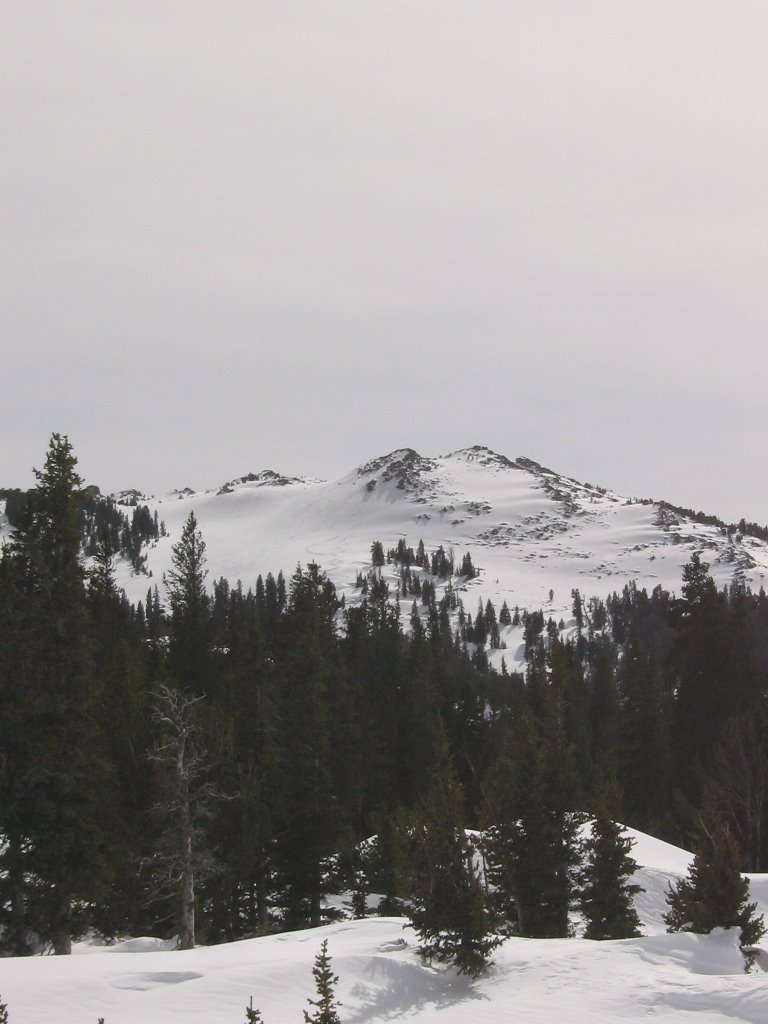
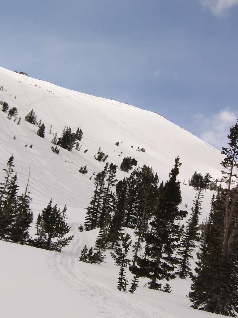
 Coyote Nipple Peak
As you might have guessed, this peak didn't have a name, that I know of. So, since I saw a coyote on ridge below it, and it looks like... well you know, I'll dub it Coyote Nipple Peak (CNP for short).
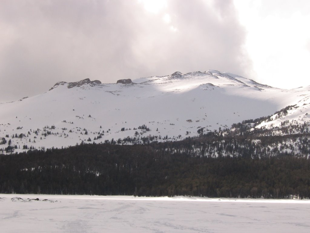
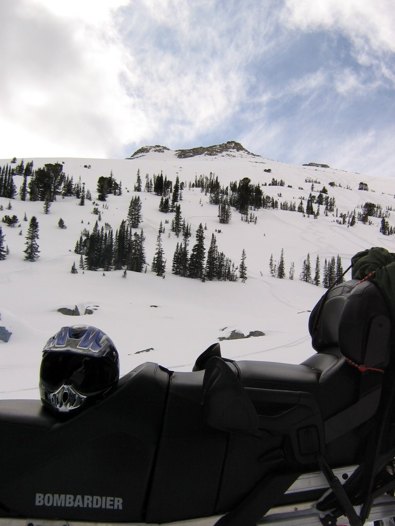
 Looking up Atlantic Canyon from Christina Lake
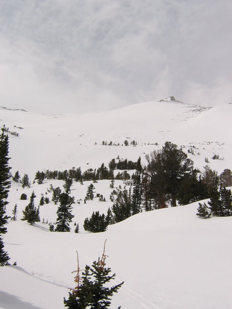
I originally didn't have plans on climbing or dropping CNP. I wanted to head up the bottom of Atlantic Canyon to see what it was like in the winter. Also to scout some access for an Atlantic Peak climb or some potential couliors.
 I had some issues on my way in. I had to break trail starting from the CD trail (5 miles plus). There was 6-12 inches of fresh powder. Had trouble finding a way over the last hill into Christina Lake.
 A closer look into Atlantic Canyon
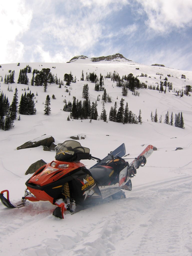
 View of Atlantic and West Atlantic Peaks and a coulior I was hoping to ride.
 As I got closer though, I realized it wasn't much of a coulior. Bummer. Since it was an up and down, long ass skin in there, I decided to bail and climb the mountain on my right (CNP).
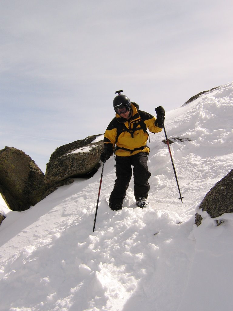
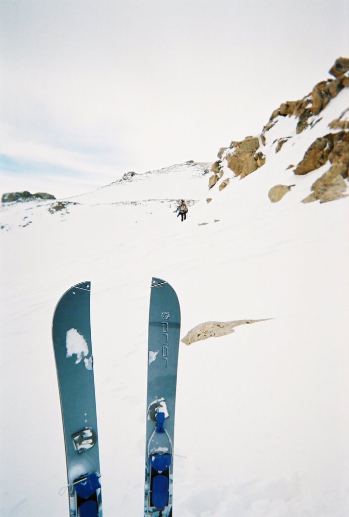
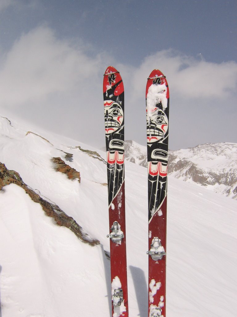 Brought the skis for this one, since I figured I would be skinning alot.
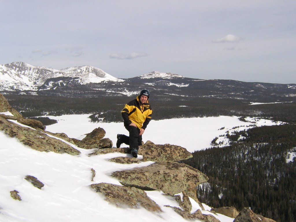
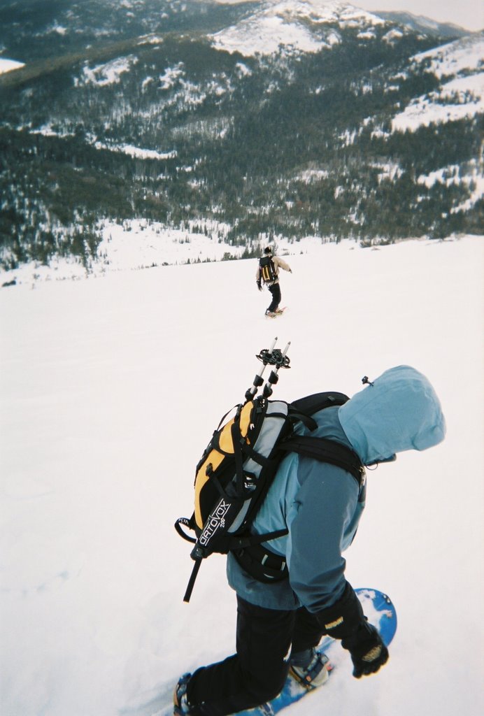
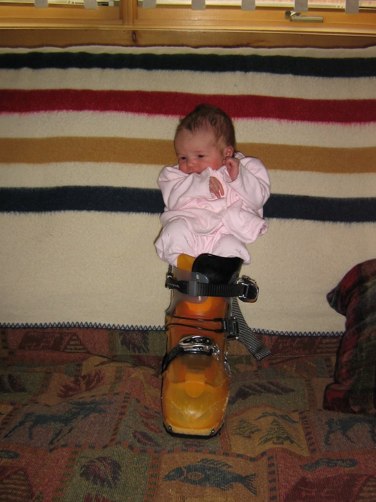 Someone else tried on a ski boot today too. Go Tally!!
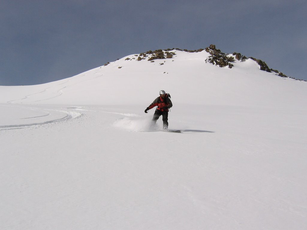
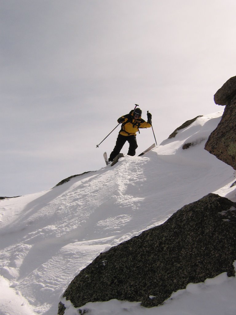
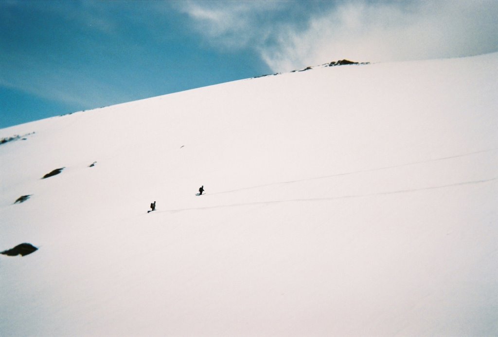
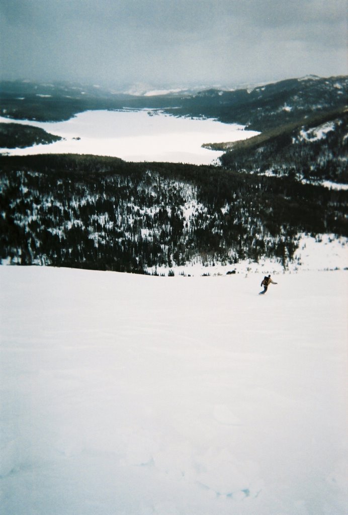
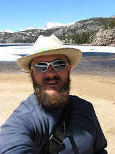
 Yup, you guessed it. Was solo today, just me, my skis, poles and pack. This is the view from the top of Coyote Nipple Peak, looking down on Christina Lake. Time to drop.
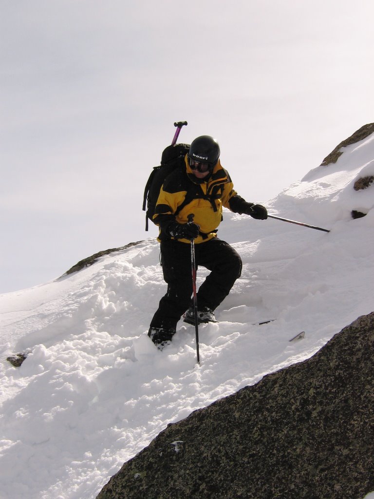
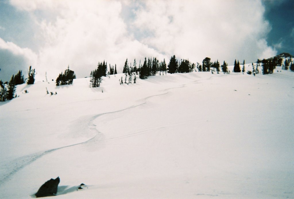
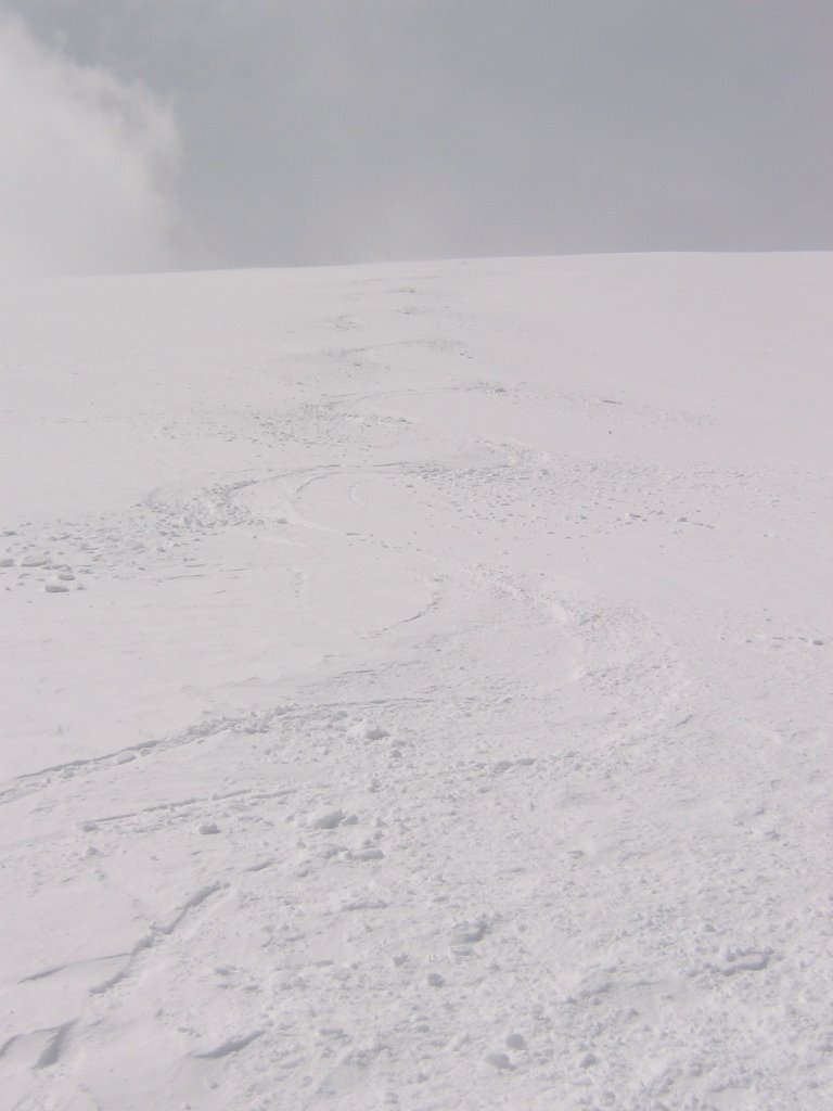 Still remember how to make those K2s wiggle! This is looking up on the first third of my line. Snow was a little harder up higher.
 But it got better, much better!
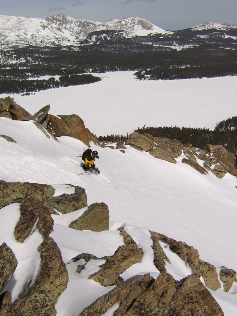
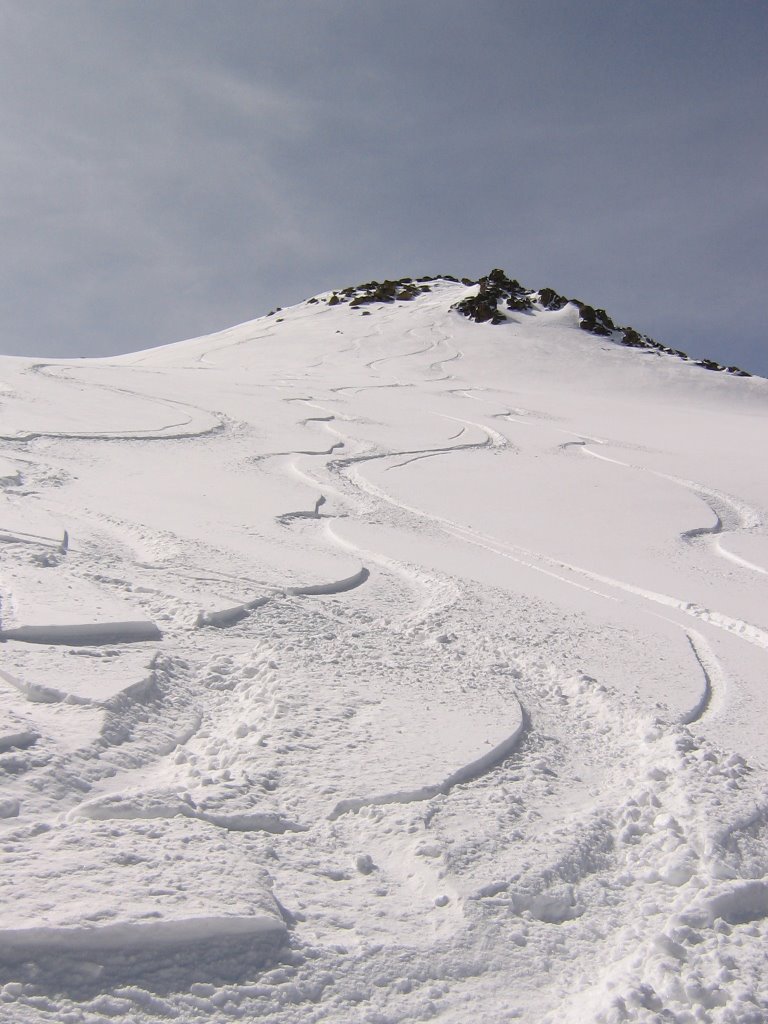
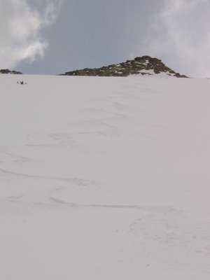
 Here's my whole line top to bottom on CNP. Click and zoom, if you can't see it.
 Here's another view. No yo-yoing this puppy. Not me anyway.
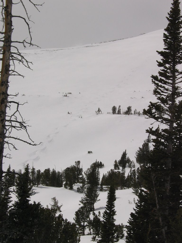 A slightly different look.
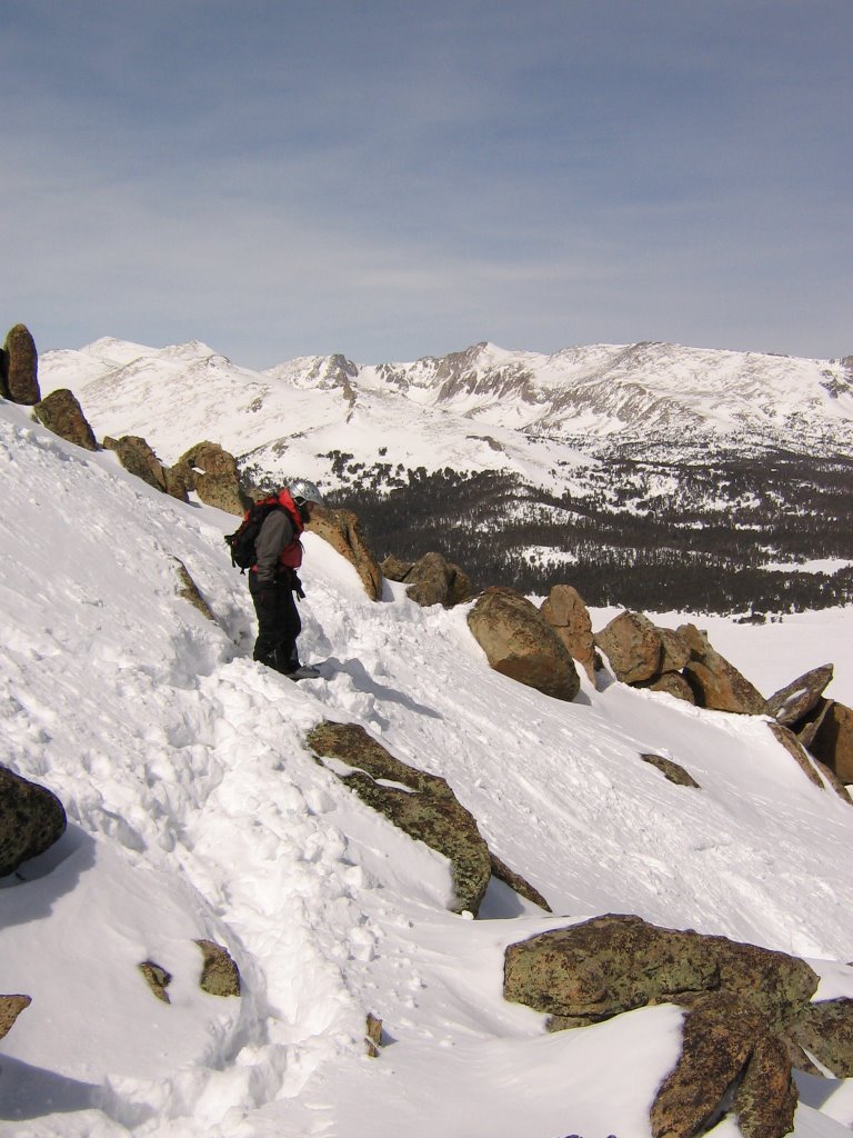
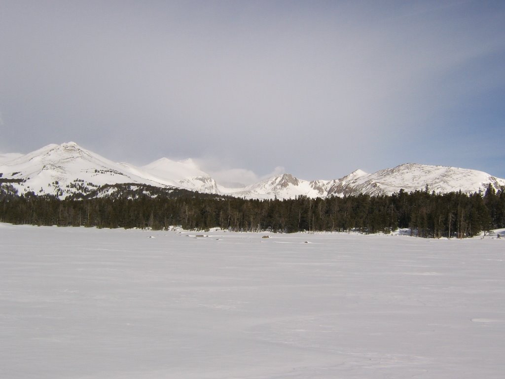
 There was some good snow on the way out too. However, I'm not sure Atlantic Canyon is the way to approach Atlantic peak. Too many side drainages have you descending and ascending both on the way in and the way out. I'm convinced the alpine route up the Big Mountain drainage is the way to go.
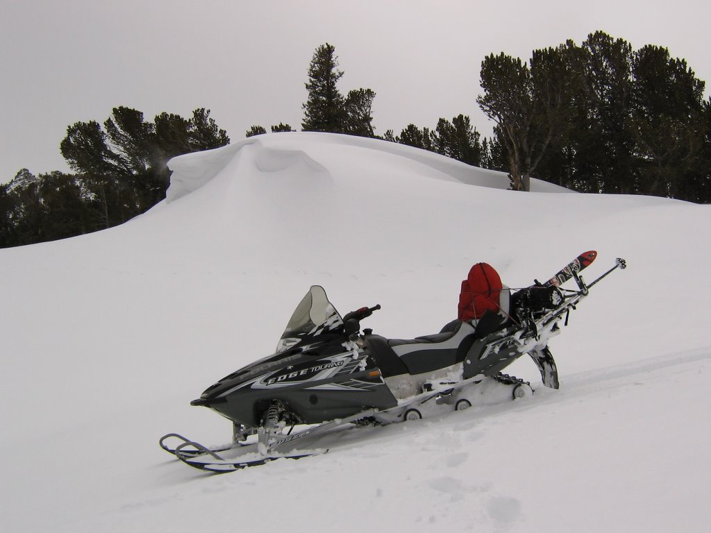 Had a little better ride on the way out. Ha!
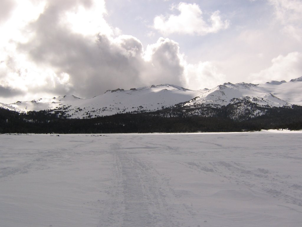
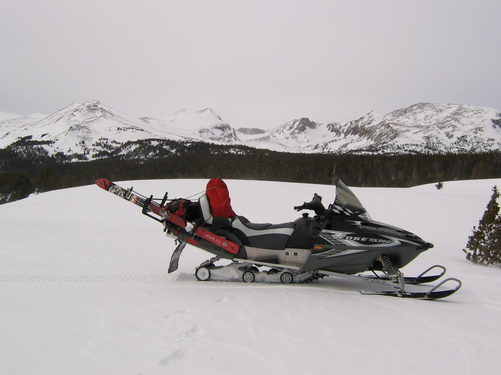 One last peek at Atlantic Canyon, Atlantic peaks, and Coyote Nipple Peak (farthest to left).
posted by Shad Hamilton at 4:12 PM
0 comments
![]()