Gannett Peak: Day 1 and 2
Gannett Peak via the Glacier Trail
Shoshone National Forest
Day 1 and 2: 8/13 and 8/14/2006
Shoshone National Forest
Day 1 and 2: 8/13 and 8/14/2006
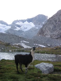
 Peidmont (the Llama) scopes out some Bighorn Sheep, high above the trailhead on the "old" trail. The new trail that goes by Bomber Basin was closed because of a small fire. My sister, an Exum guide, and five Llamas joined me for this trip. Our goal was to climb Gannett Peak. At 13,800 plus feet, it 's the tallest in Wyoming.
 Dropping down off of Goat Pass, headed into the Philip's Lake area we spotted this moose. She didn't seem to mind the traffic.
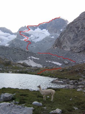
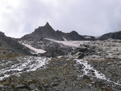
 A small lake and couloir around the Philip's lake area. It's about 25 miles all the way in to the base of Gannett Peak using this trail. It would take us two hard days of hiking before we were even in a position to climb it.
 Hope and Kutz (the Llama) descending switchbacks on our way into Honeymoon lake, where we stayed on our first night.
 The next day it wasn't long before we entered the Down's Fork meadow country. I've heard interesting tales about crossing the Down's fork years ago. Now there's a bridge across it, so it's not an issue anymore.
 After the Down's Fork Meadows, we entered Big Meadows. From Big Meadows you can start to see up the Dinwoody drainage a bit. The river is full of glacial silt and it's banks are loaded with glacial sand deposits. It's kinda cool. An alpine beach. Ha!
 Hope leads Kutz through Big Meadows. It took about an hour to get through it. It was a beautiful walk though.
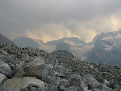
 Soon after gettting through Big Meadows we get our first view of Gannett Peak and Gannett Glacier (the North face).
 Not long after that we entered the Floydd-Wilson Meadows. This is where I camped on previous trips, but this time we were hoping to get further up the Dinwoody, so we kept hiking.
Hope and Kutz cross Klondike creek as we begin to get into the Floyd-Wilson meadow areas.
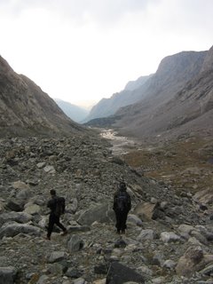
 After going through the Floydd-Wilson Meadows, you get to a point where you have to cross Dinwoody creek. It can be tricky. There's a good, safe place to cross Llamas and other livestock, but at first sight you might not believe it. Though the water is much lower in the morning, this time of year it's pretty safe all day.


