Wishbone Couloir, Silas Canyon
First Splitboard Descent on the Wishbone Couloir
Silas Canyon, Popo Agie Wilderness Area, Shoshone NF
June 23rd, 2006
Silas Canyon, Popo Agie Wilderness Area, Shoshone NF
June 23rd, 2006
 The Wishbone Coulior
(I'm calling it that because, to my knowledge it doesn't have a name)
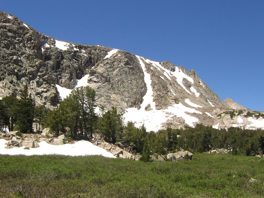
 Earlier this year, in February, on a trip up Silas Canyon, I first set sights on the Wishbone. It's the dominate rib shaped couloir to the looker's left.
 The Wishbone in February
The Wishbone in June

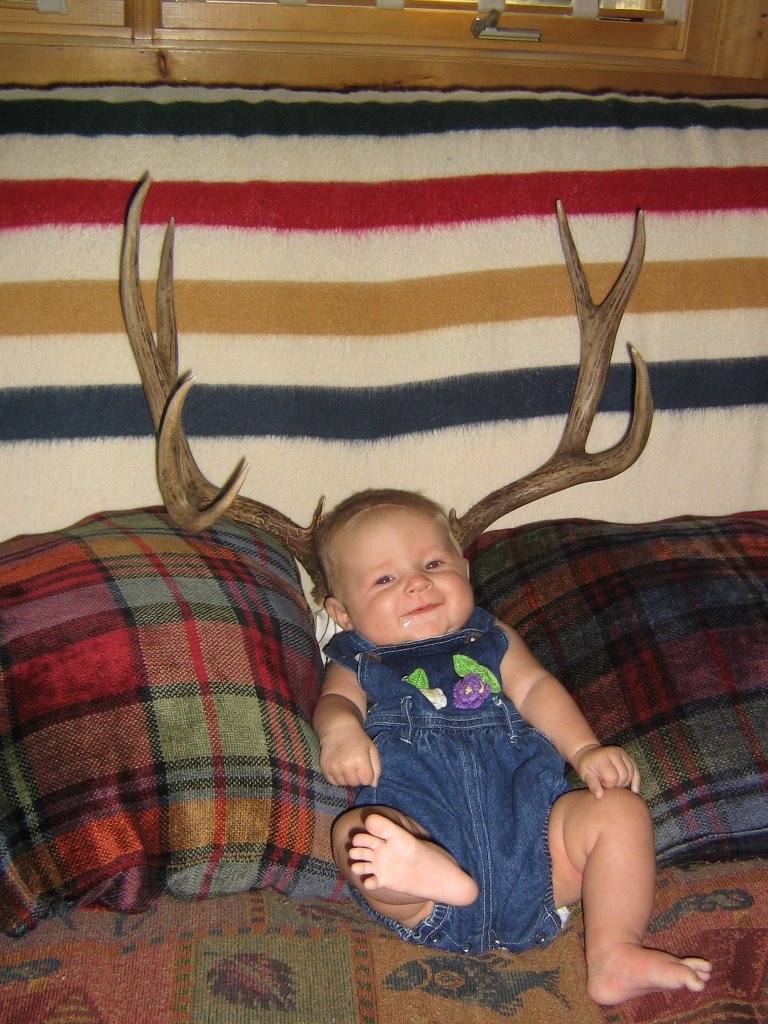 Before we get to far along, better get the Tally pic out of the way, for those who aren't as interested in snow. Ha! Tally goes Boone and Crocket! A trophy five point Tallulah... in June no less. "Look mom... horns!" Or wait, maybe it's a Jack-o-Tally.
 Back to the trip report...
I left Lander around 6pm Thursday and was on the trail a little after 7pm. About 4 or 5 miles later I set up camp above Island Lake, round about 10pm. I was sacked out by 11pm. I wasn't sure how fast the couloirs would heat up, so I got up about 4am. Above is a picture of my camp around 4:30am.

 Looking up the Wishbone around 5:30am, and then a bit a later when the sun was starting to light up the mountain tops. Turned out to be a beautiful spot to watch the sunrise.
 A Silas Canyon Couloir Troll???
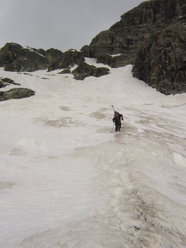
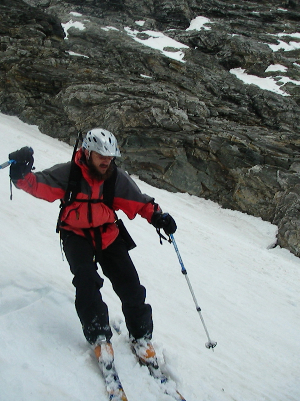
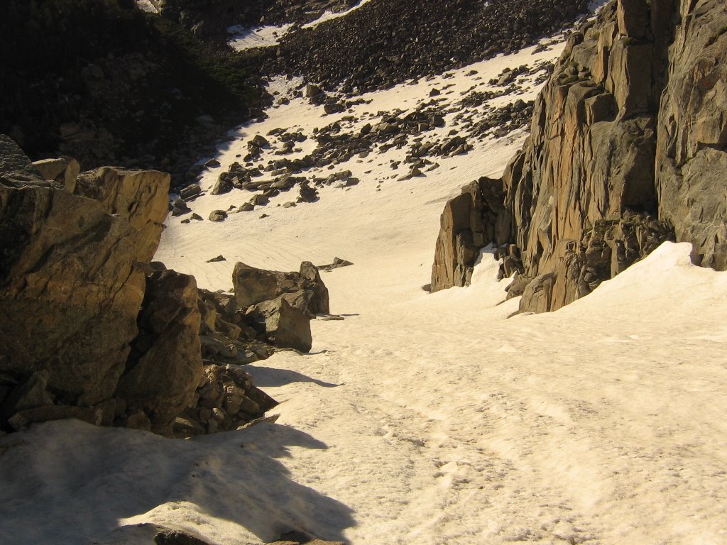 Looking down, kind of at the wishbone part of the Wishbone Couloir. Later, I'd have quite an experience negotiating this part of the couloir. I think I probably could have started later. The snow was still pretty hard. At this point I was cursing myself for not bring my crampons. Figured I'd save a few pounds on the pack in, so I left the spikes at home. Bugger! The going was slow until the snow warmed up.
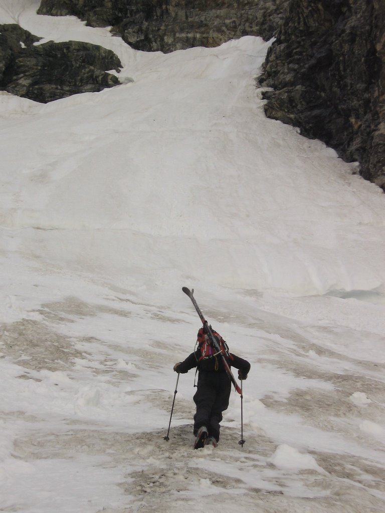
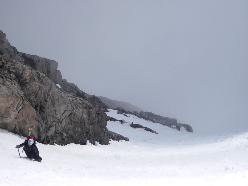
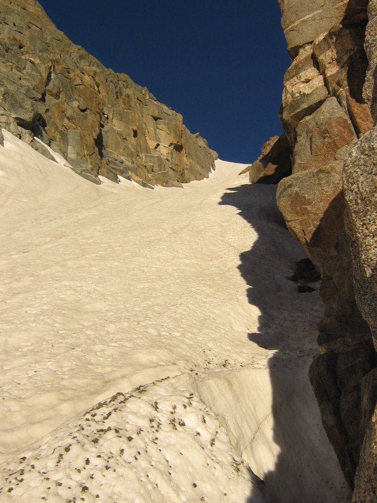 Slowly making my way up the couloir.
 Finally, nearing the top, it started to open up. It remained pretty steep though.
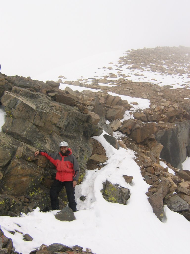
 The Silas Canyon Couloir Troll communicates in sign. I think it means, "Whew! I made it!"
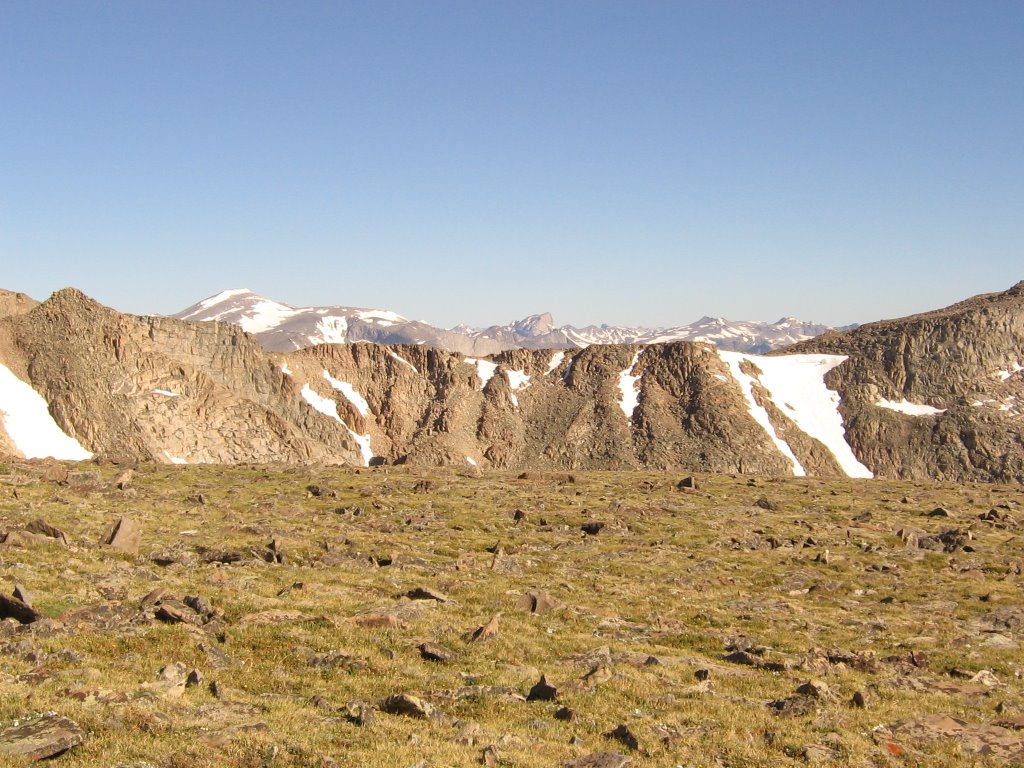
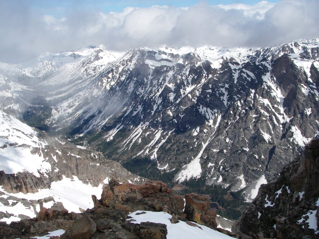
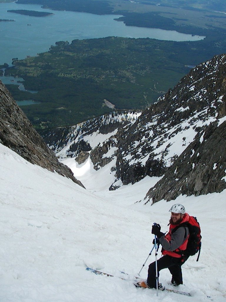
 The views from the top were fabulous. Great spot for breakfast! The lighting was awesome at 8:00am. Wind River Peak is the peak in the looker's left, and Lizard Head can be seen to the right of that. In the foreground is the Thumb Lake cirque and a nifty couloir dropping into it.
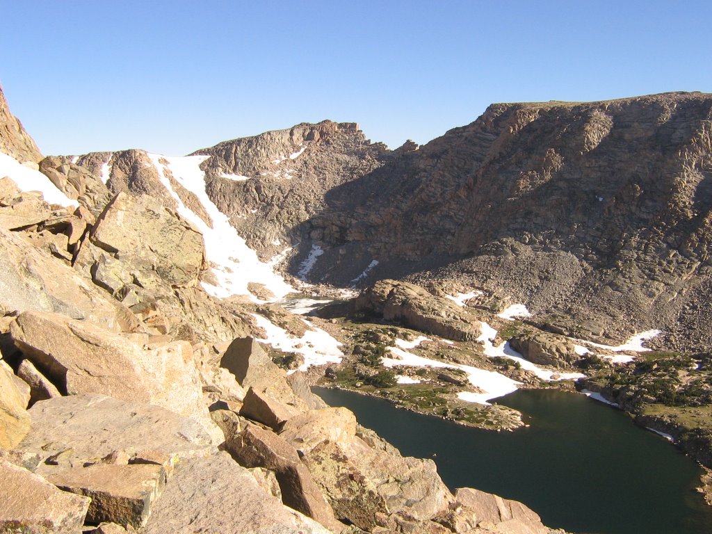 A better view of Thumb Lake and it's couloir.
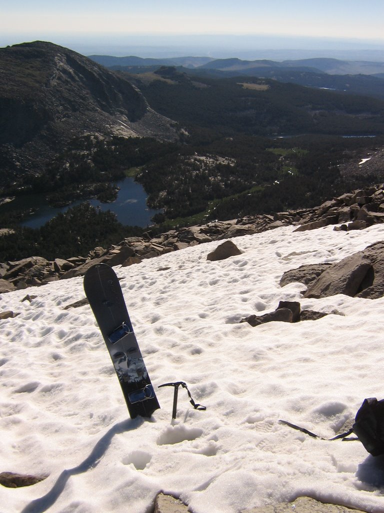
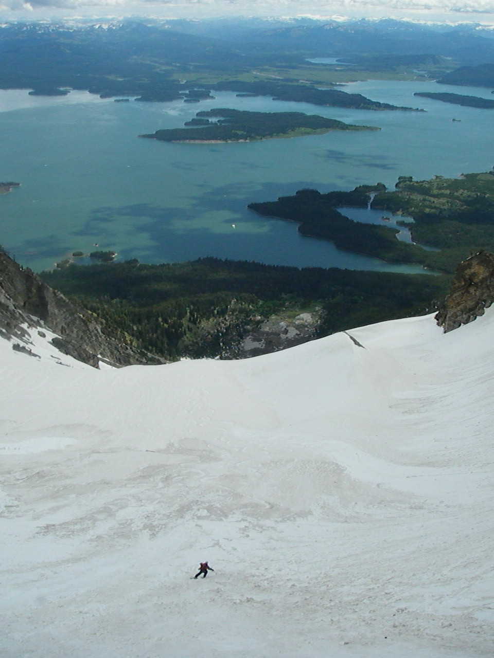
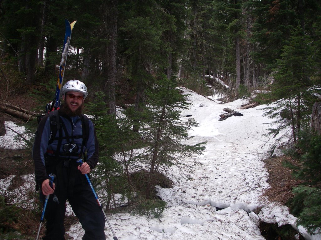
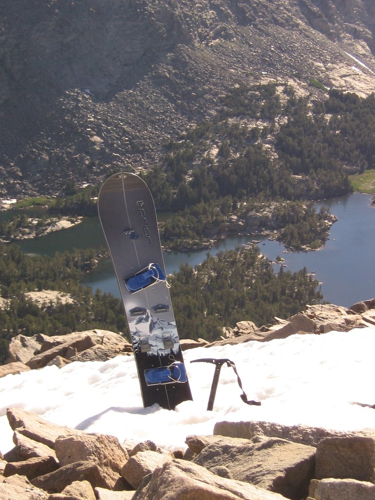 More views from the top. I took the splitboard out for this trip- it packs easier. Island Lake, Deer Lake, and Silas Canyon can be seen below.
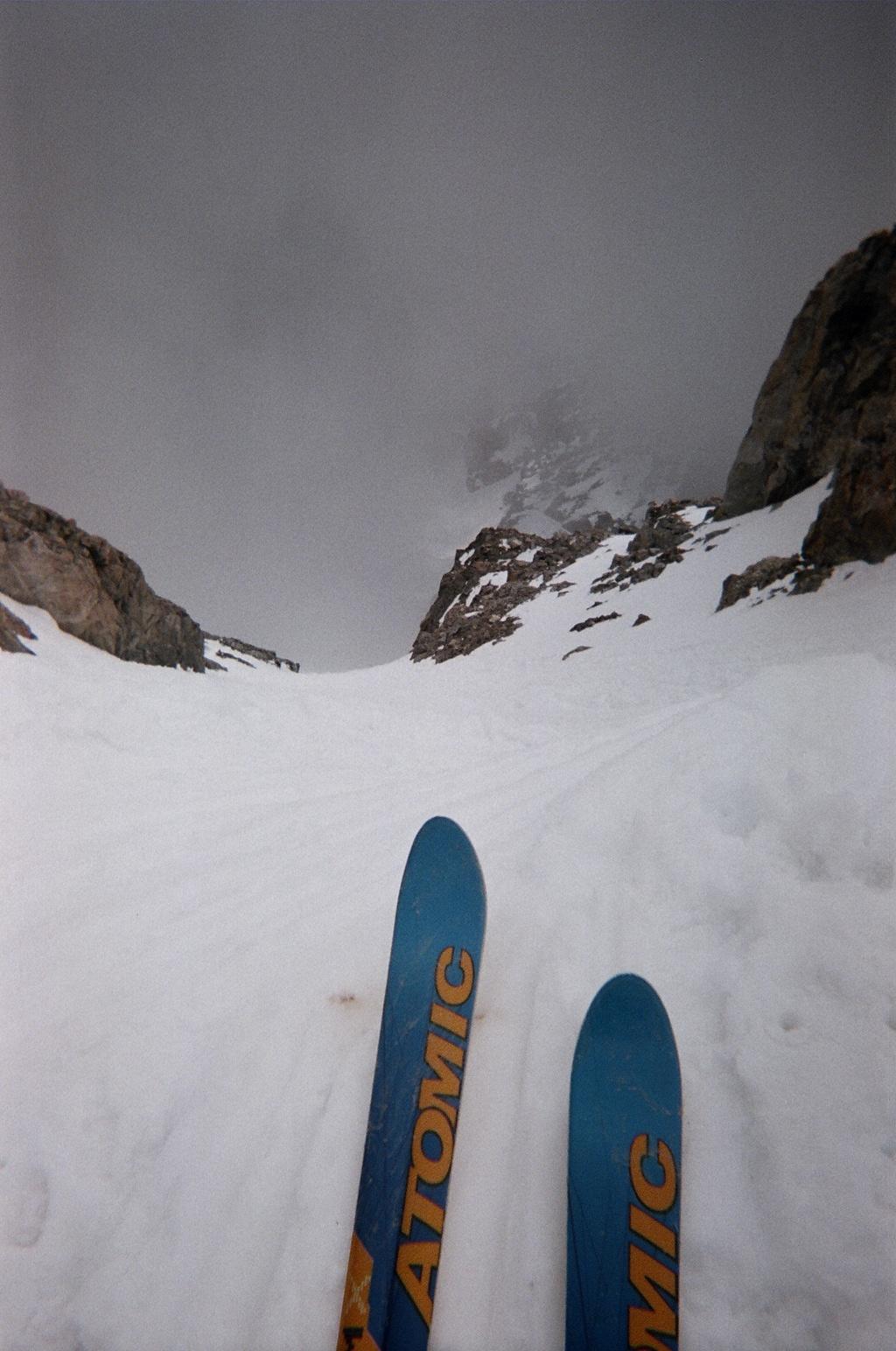
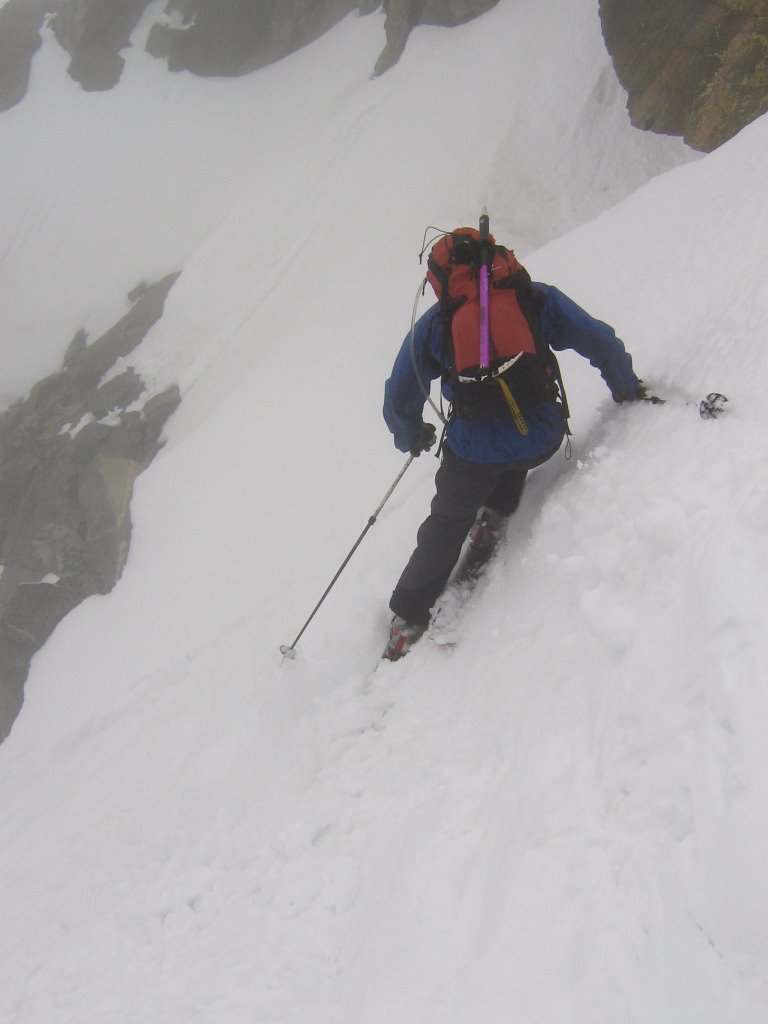
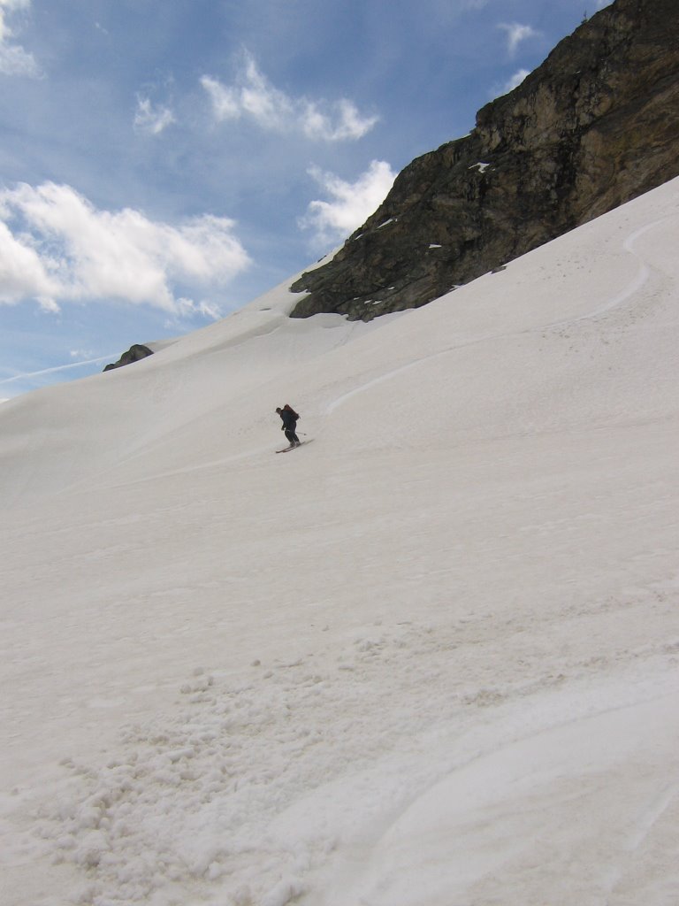
 How steep is it? Damned steep. Inclinometer said 45 to 50 degrees. Wishing I had my skis now. Here we go...
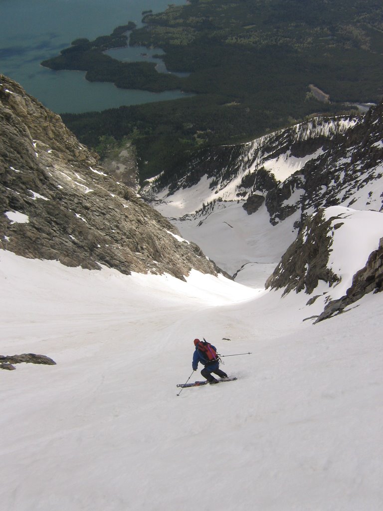
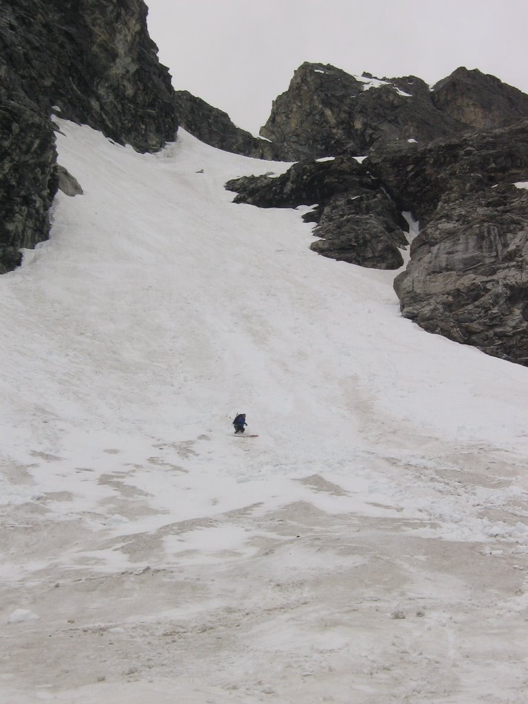
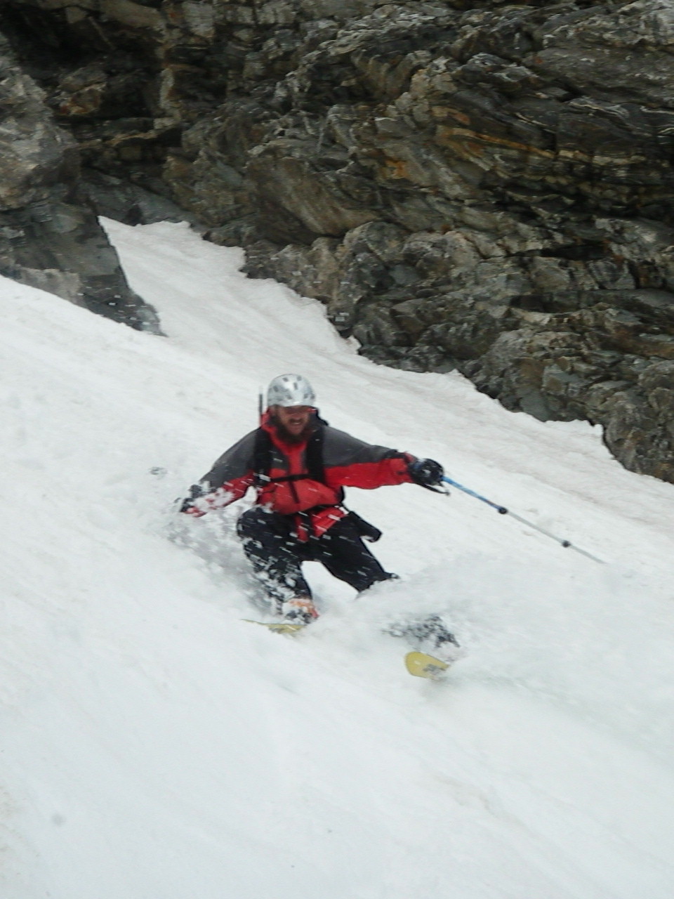
 Tracks and turns, but yikes... I should have let it warm up more.
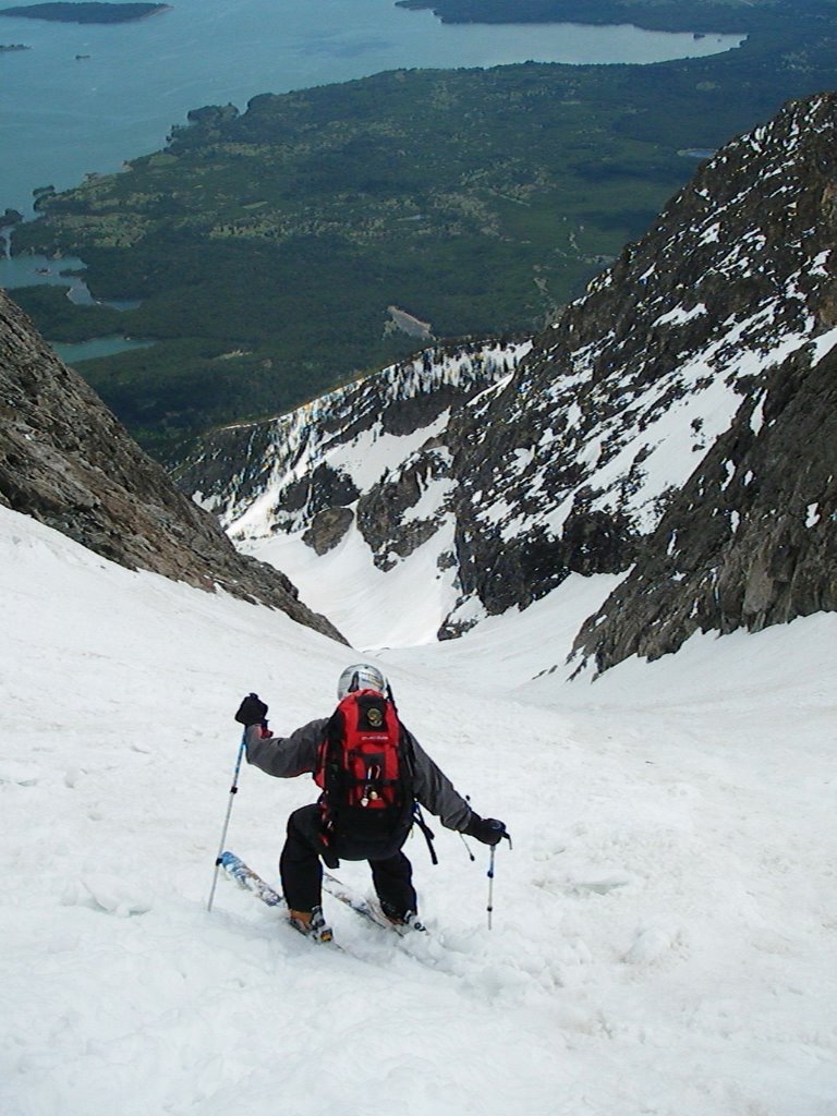
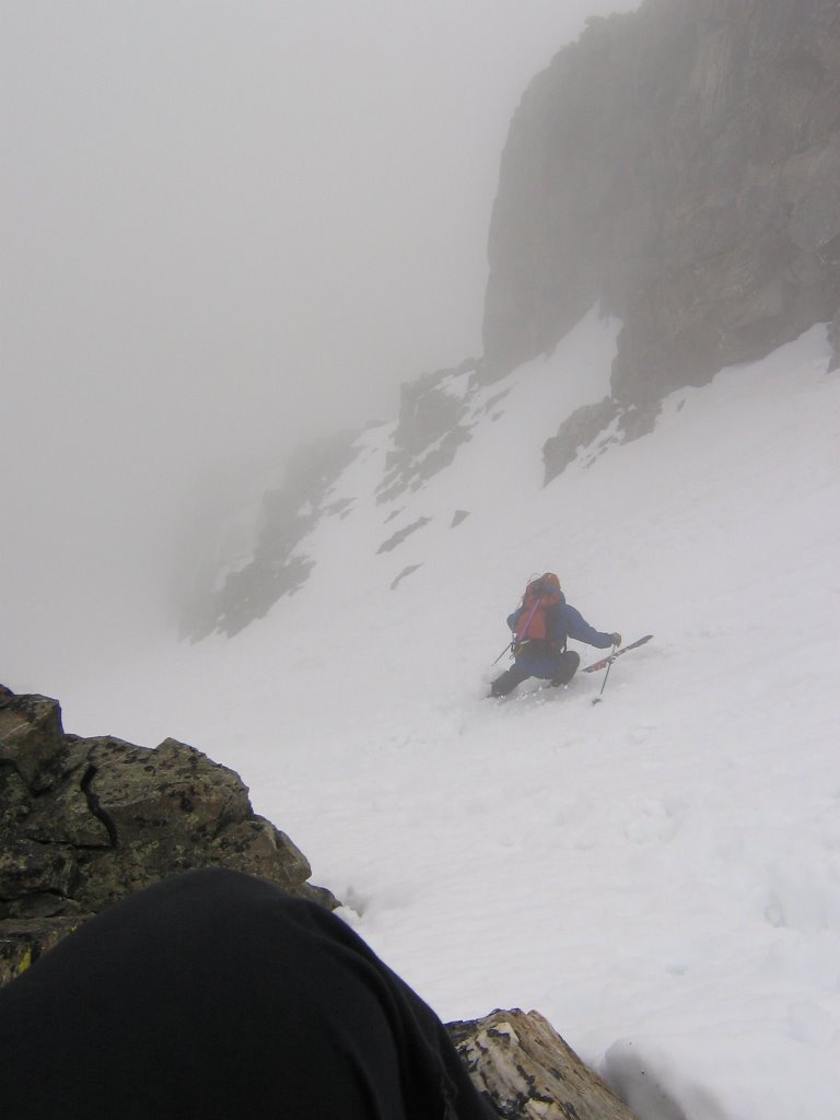
 Two thirds of the way down, looking at the wishbone part of the couloir.
I did well up to this point, however the snow got a little harder down here- slippery on a solid base. It had not recieved as much sun as the top yet. I should have waited. Bugger. Notice the ice axe in hand. I needed it. Got to practice my ice axe arresting techniques. I'd say I need more practice.

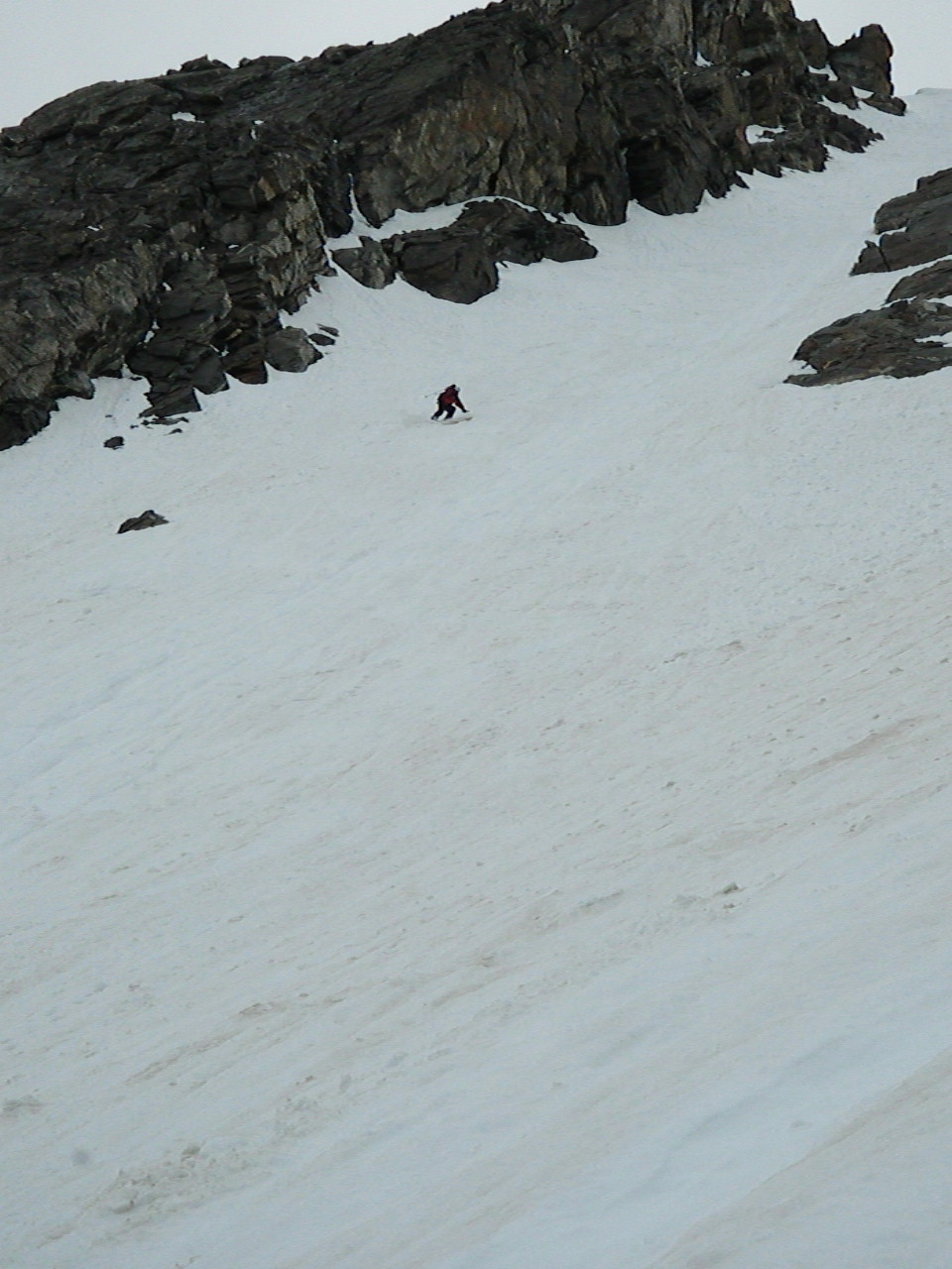
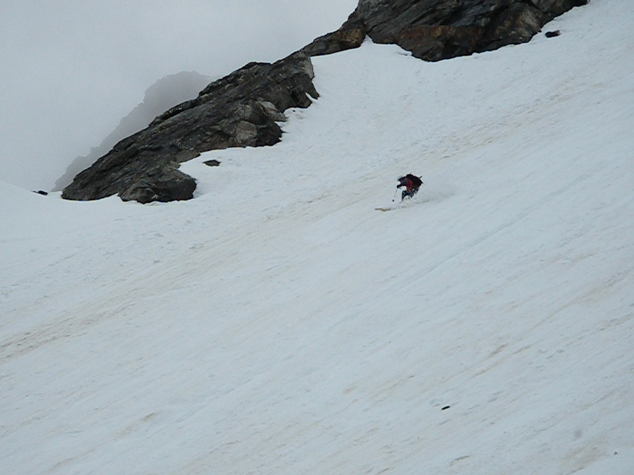
 I tried a big ol' nice turn, and whoooosh, lost my edge. Off to the races! I was suddenly going going the speed of sound toe-side, belly down, straight down the couloir. At one point I was head first, then I remembered the "Y" and the pile of granite rocks that made the "Y" and how my helmet probably wasn't design to take a blow at 50mph with my head in it. Somehow that thought inspired me to roll and get my feet under me. That gave me enough control to get by the rocks. I was finally able to get a good two-hand stab with my ice axe, and that was enough to drag me to a stop before just before the next rock piles. Whew! If you click on the right-hand photo, you can see my tracks. Pretty impressive straight lining. Ha! Scary as shit! I think I might have to stick to skis for spring/summer couloirs.
 At the bottom of the Wishbone Couloir, with all of my bones intact! Talk about a ride.
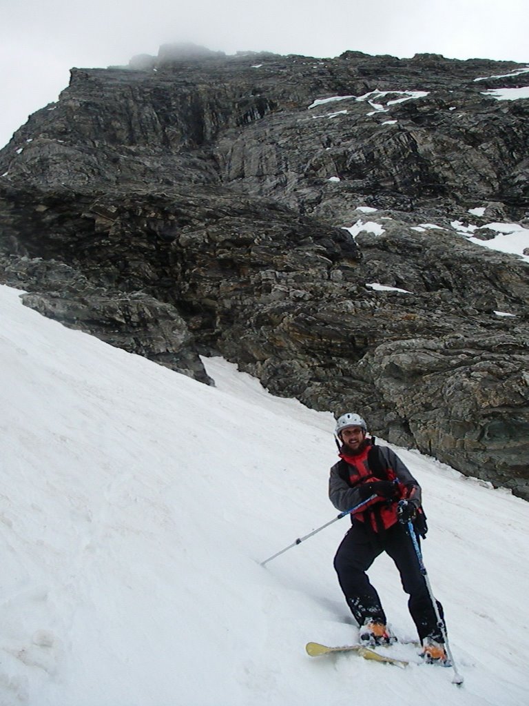
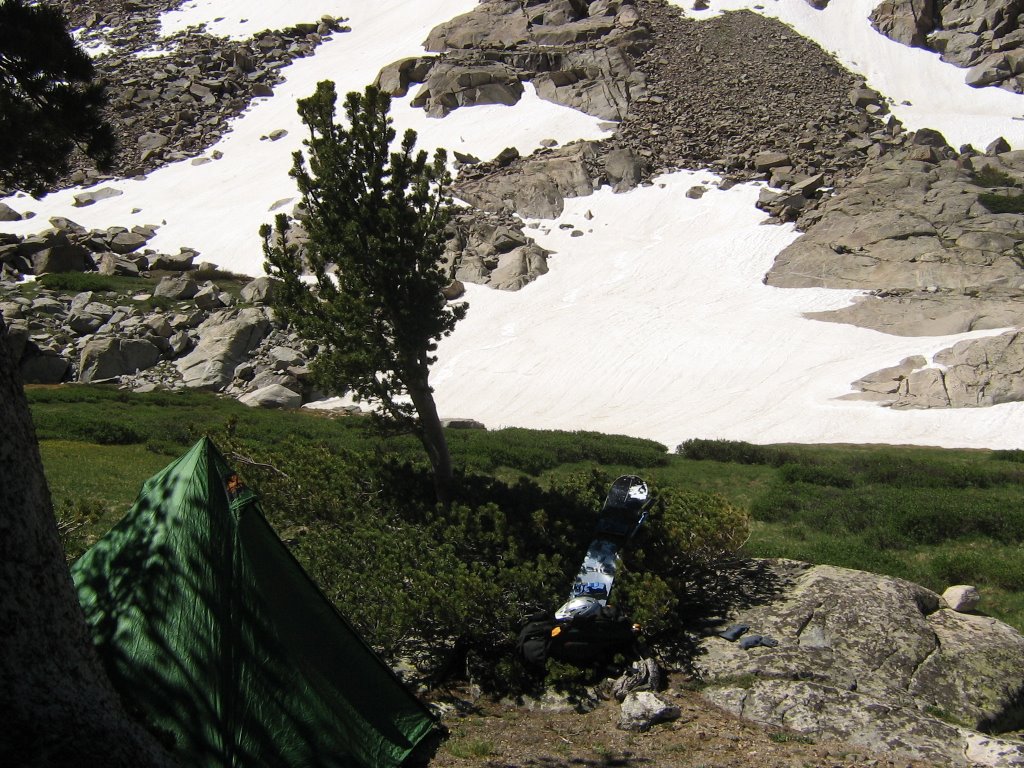
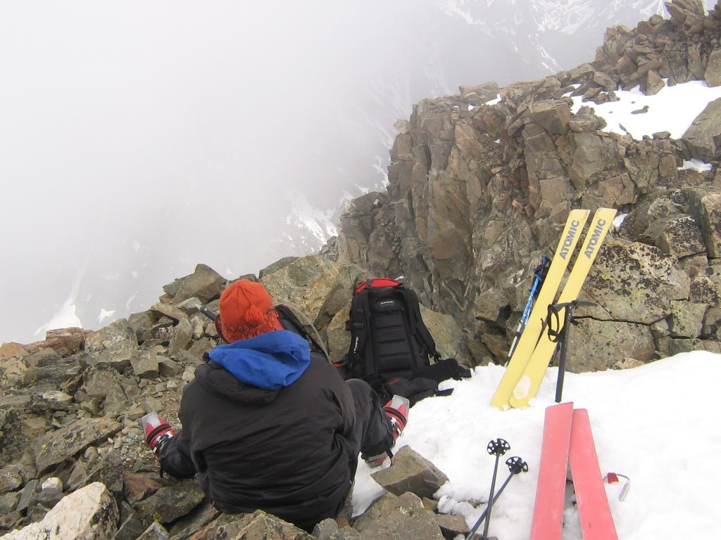
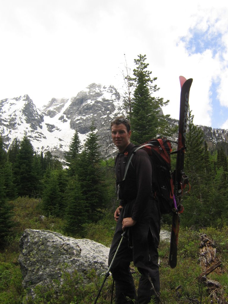
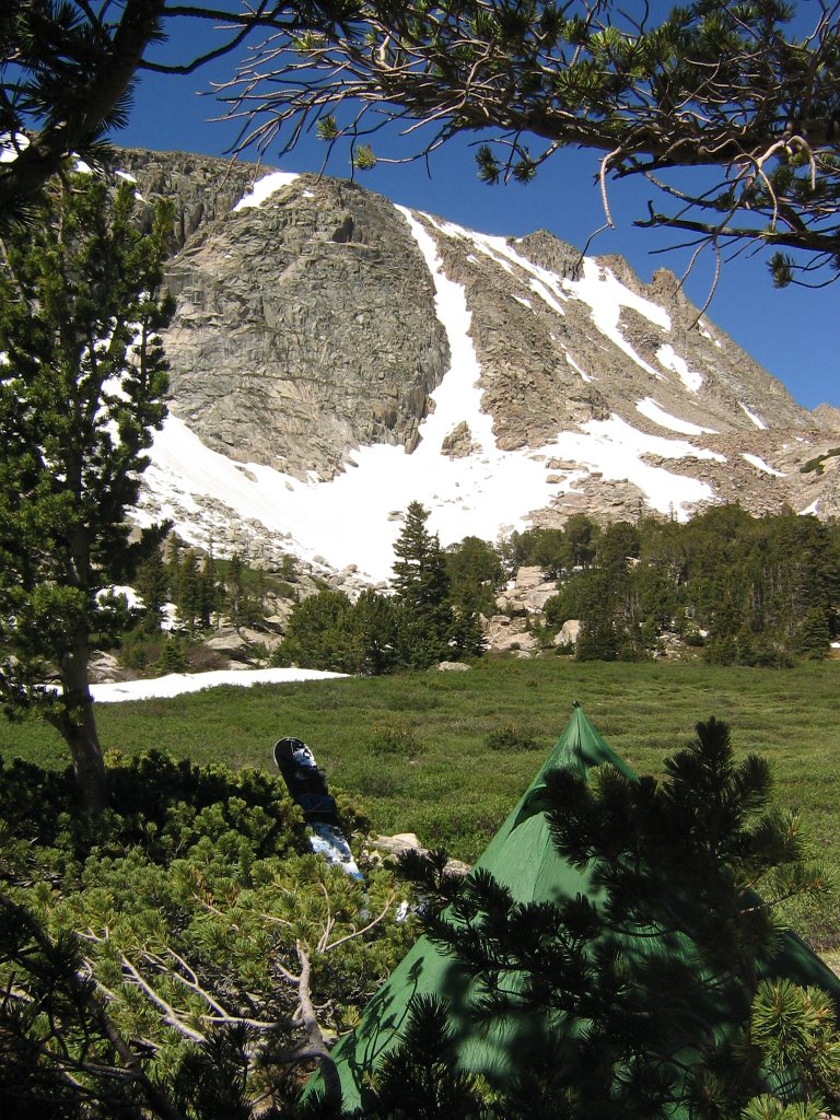 Back at camp. I had a little time to play on some small stuff (picture on the left). The view from camp was awesome. It's a great site. Only about 15 minutes from the snow on the apron of the Wishbone. I might have to get back up there soon with my skis.
 One last look. I made sure to leave some couloirs for my next trip. The one on the left looks to be a dandy!
posted by Shad Hamilton at 7:53 AM
1 comments
![]()


