Surfin' Big Mountain
First (Ever) Splitboard Descents of Big Moutain
Christina Lake Area, Southern Wind River Range, Shoshone National Forest
March 5th, 2006
Christina Lake Area, Southern Wind River Range, Shoshone National Forest
March 5th, 2006
 A view of the Christina lake peaks. "Big Mountain" is the big, dominant one in the middle.
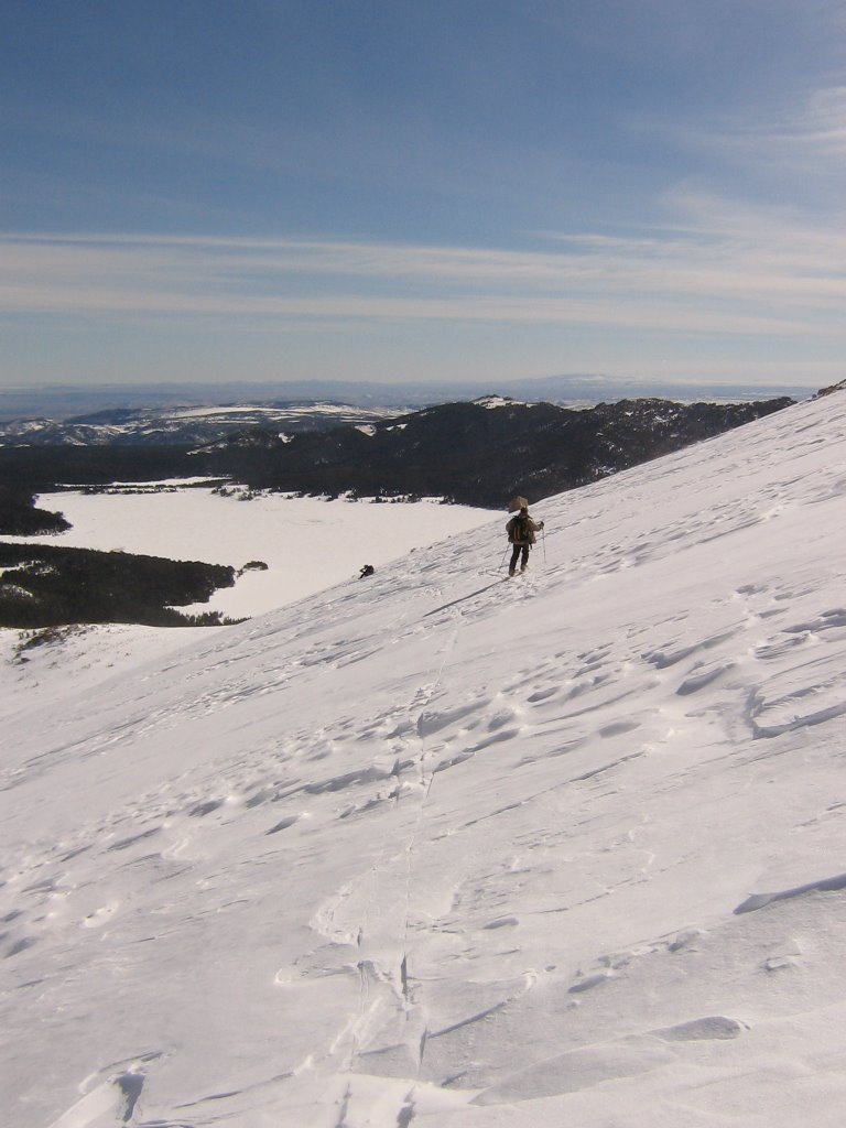 Headed up. We got rolling about 8:30am from Louis Lake Parking area. Probably started skinning around 9:30am or so. Reached the upper most summit around lunch time.
 Chuck and Karla still going up.
We had actually planned to come up here the day before, but when I reached the parking lot Saturday at 7:30am, it was a white-out 50 mph blizzard. We met up and simply said- "Let's try it tomorrow." Glad we did- totally different weather today. Hard to do that if you have to drive a few hours just to get there. One of the advantages of having this fine country in your back yard I suppose.
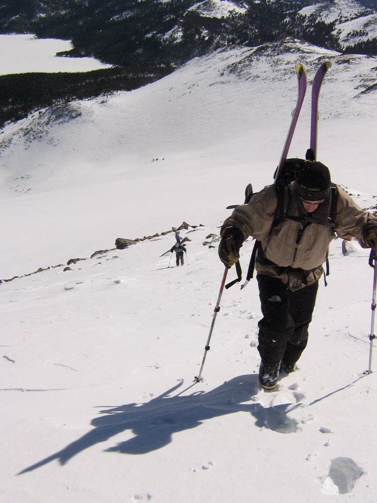 Still climbing, but getting closer, and a little steeper.
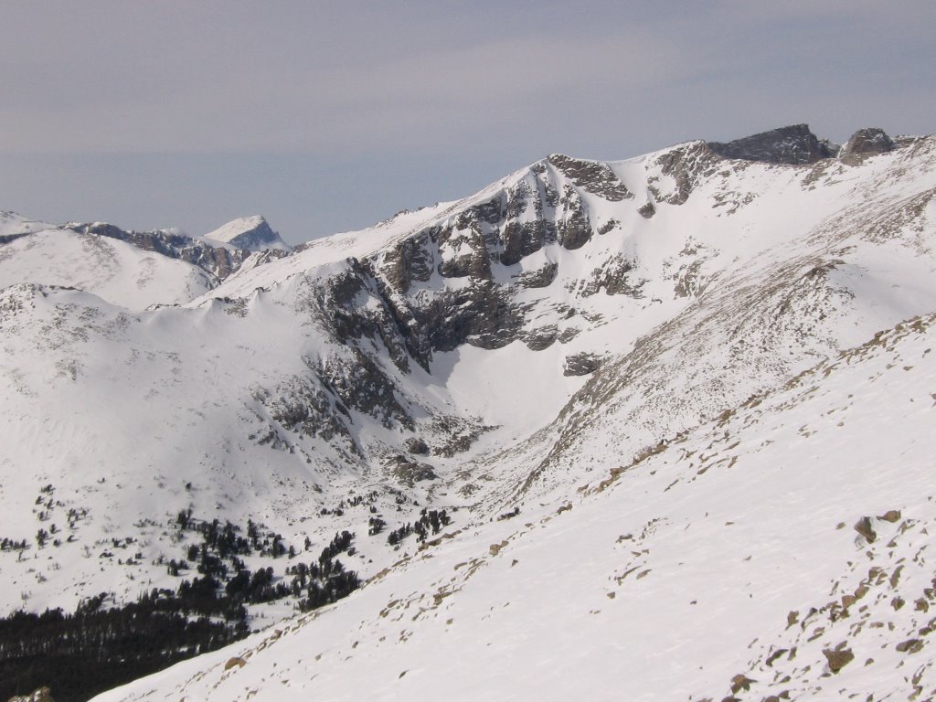 Finally, close to the top, we get a peak of the other side. Looking down the range towards Sweetwater Gap Pass and maybe Temple Peak.
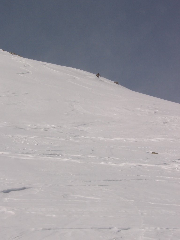 Chuck drops from the top!
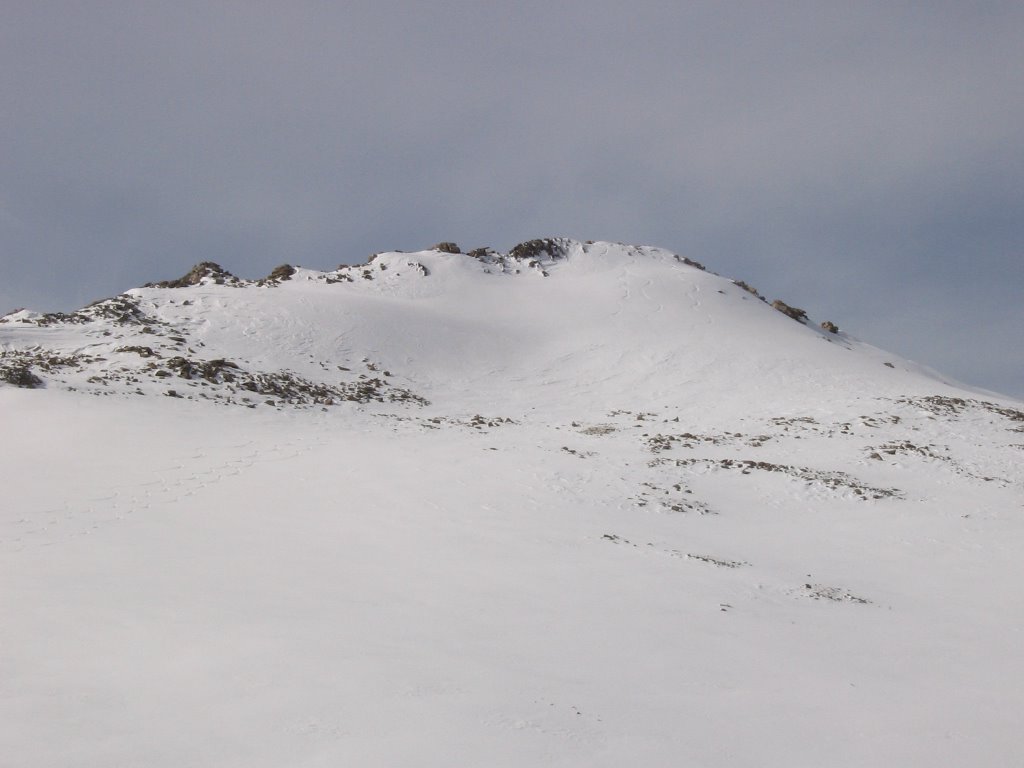 A look at the lines. Click on the photo and zoom in to see the lines from the summit.
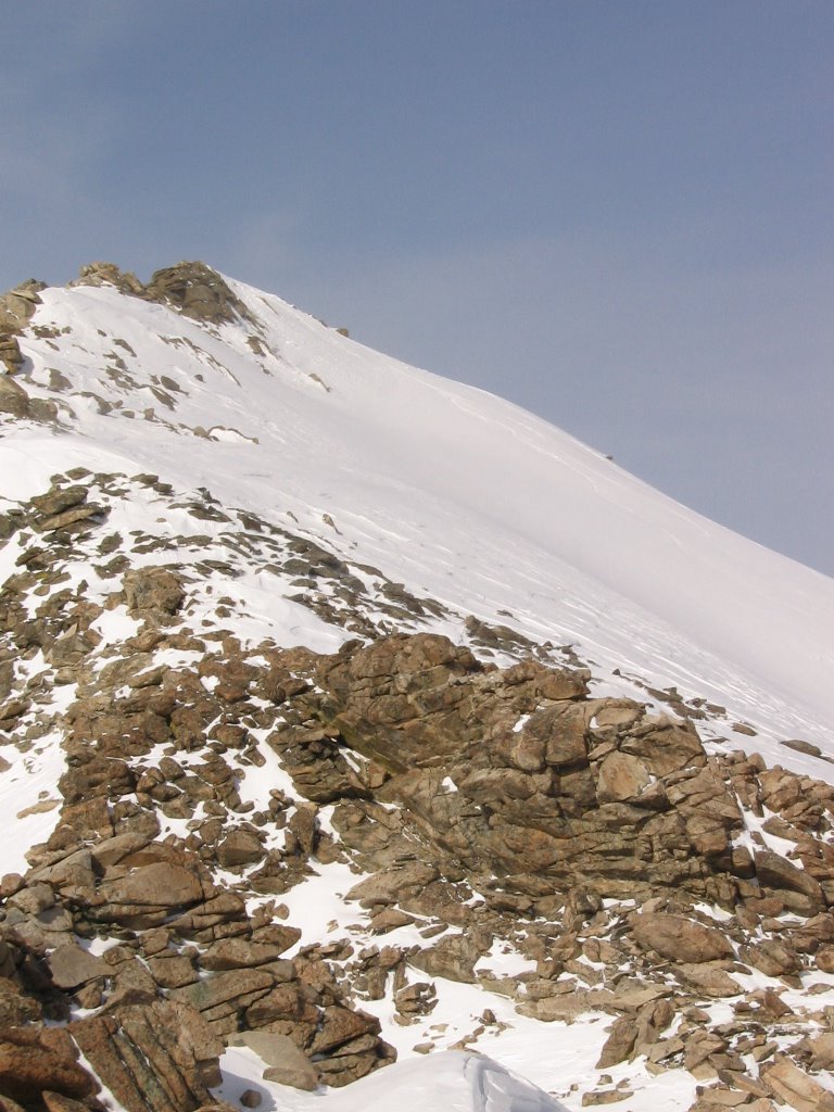 A profile of the summit lines. Not deep pow- but definitely rideable. And fun!
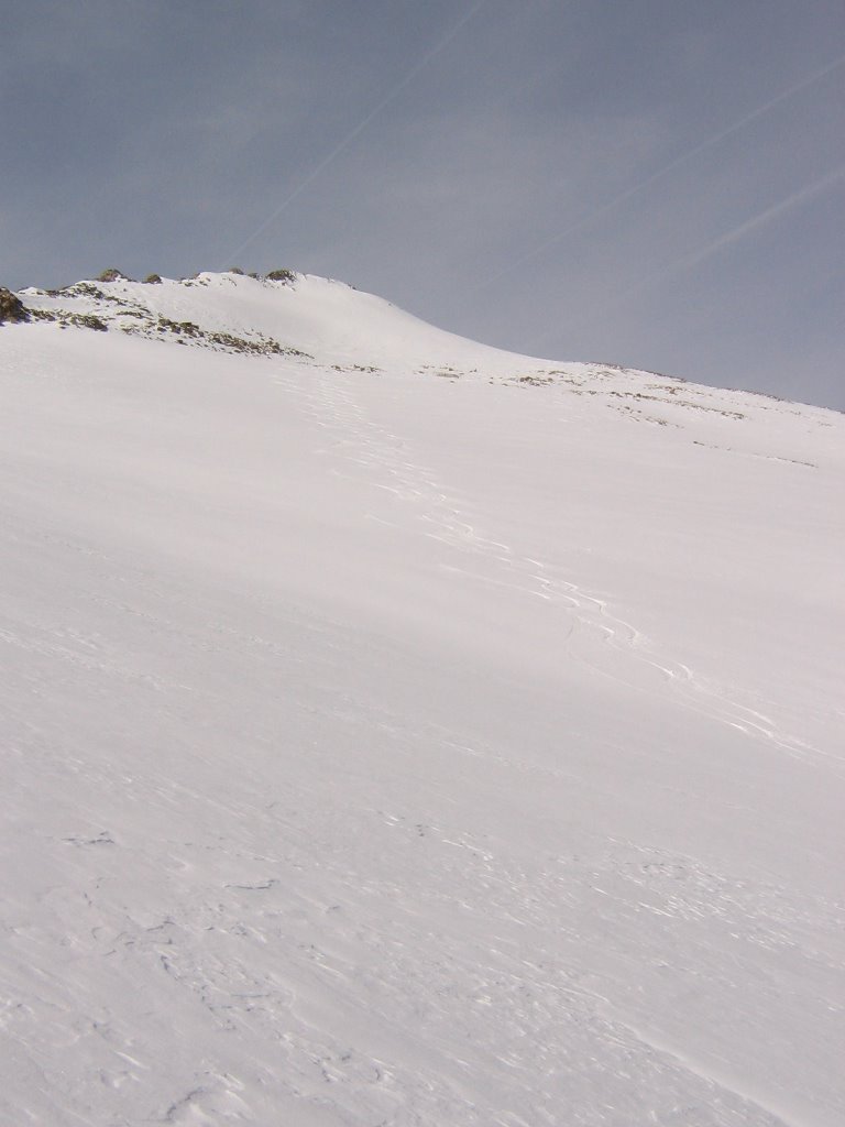 Alot of fun. I think Chuck counted sixty plus wiggles of fun. Ha!
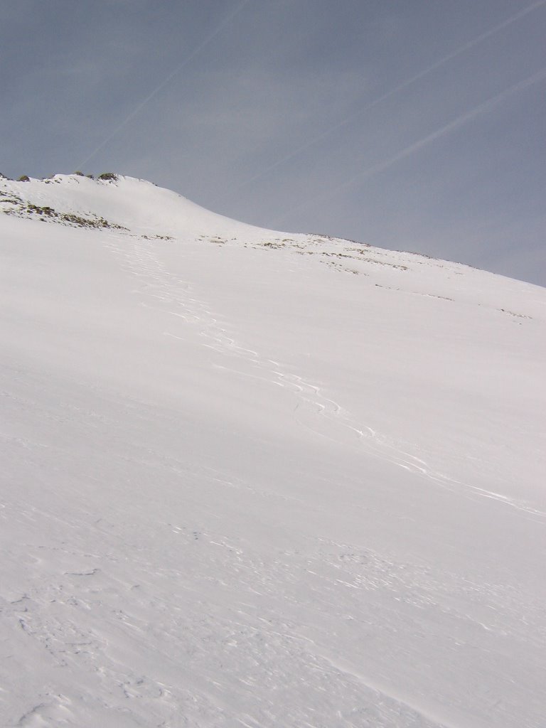 And we only dropped about half way down. Amazing!! Good stuff!
 So much fun, we needed seconds. Karla makes the boot hike for run two.
 Chuck, punches in the road to run number two.
 Surfs up! Karla catches the second wave for ride #2.
 What a ride it was!
 Those dots down there are people, waiting for me to put in the third line.
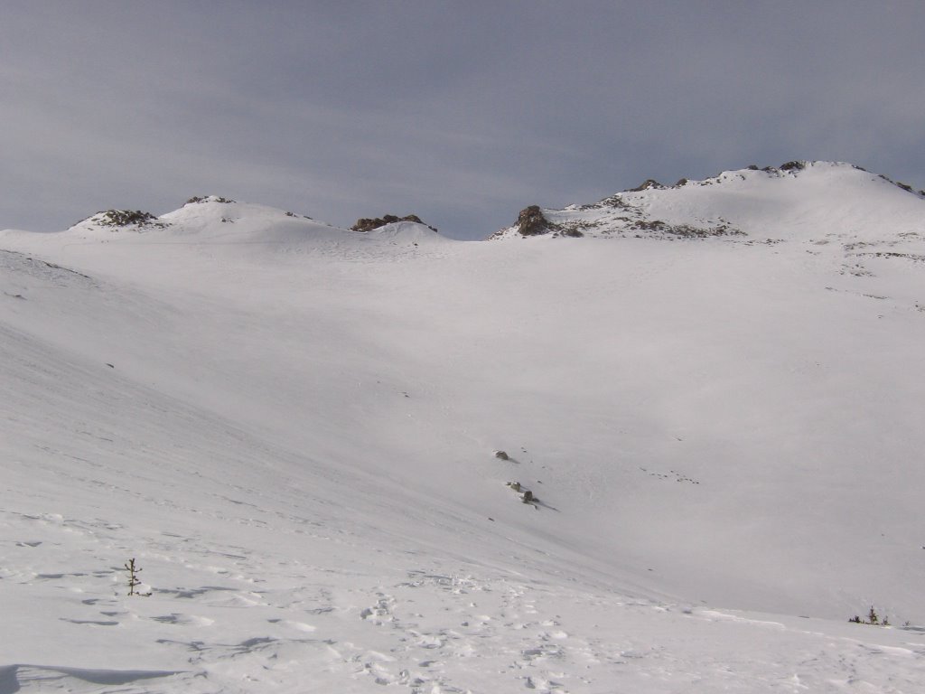 A look back at a day's work in the Southern Winds. Click and zoom to find the lines. We dropped from summits to the left and right of the gap in the middle.
 Bobble heads and Skidoos with tails. Hard to do it without them.
 One last look back at Big Mountain, from across Christina Lake. What a day!
posted by Shad Hamilton at 5:49 PM
![]()

0 Comments:
Post a Comment
<< Home